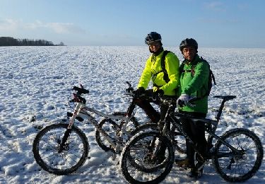
49 km | 54 km-effort
Thiebaumenil
apis54
User
Length
26 km
Max alt
322 m
Uphill gradient
202 m
Km-Effort
29 km
Min alt
236 m
Downhill gradient
201 m
Boucle
Yes
Creation date :
2021-12-12 06:59:40.102
Updated on :
2021-12-12 11:26:32.642
4h09
Difficulty : Very difficult
FREE GPS app for hiking
About
Trail Walking of 26 km to be discovered at Grand Est, Meurthe-et-Moselle, Thiébauménil. This trail is proposed by apis54.
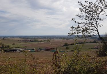
Positioning
Country:
France
Region :
Grand Est
Department/Province :
Meurthe-et-Moselle
Municipality :
Thiébauménil
Location:
Unknown
Start:(Dec)
Start:(UTM)
324855 ; 5383175 (32U) N.
Comments
Trails nearby
sortie vtt du 06102018 Haut de la Coye
Mountain bike
Medium
(1)
Saint-Clément,
Grand Est,
Meurthe-et-Moselle,
France
3h 2min
Yes
sortie vtt du17012016
Mountain bike
Medium
(1)
Saint-Clément,
Grand Est,
Meurthe-et-Moselle,
France
42 km | 48 km-effort
3h 9min
Yes
sortie vtt du 14082016
Mountain bike
Medium
(1)
Saint-Clément,
Grand Est,
Meurthe-et-Moselle,
France
46 km | 53 km-effort
3h 28min
Yes
sortie vtt 08042016
Mountain bike
Medium
(1)
Saint-Clément,
Grand Est,
Meurthe-et-Moselle,
France
45 km | 51 km-effort
2h 50min
Yes
sortie vtt du 13122015 baccarat badmenil
Mountain bike
Medium
(1)
Saint-Clément,
Grand Est,
Meurthe-et-Moselle,
France
39 km | 45 km-effort
2h 59min
Yes
sortie vtt du 25102015
Mountain bike
Medium
(3)
Saint-Clément,
Grand Est,
Meurthe-et-Moselle,
France
44 km | 50 km-effort
3h 19min
Yes
sortie vtt 18102015
Mountain bike
Medium
(1)
Saint-Clément,
Grand Est,
Meurthe-et-Moselle,
France
39 km | 43 km-effort
2h 53min
Yes
Sortie vtt du 18102014
Mountain bike
Medium
(1)
Saint-Clément,
Grand Est,
Meurthe-et-Moselle,
France
38 km | 43 km-effort
2h 53min
Yes
sortie vtt 23072023 deneuvre
Electric bike
Medium
Saint-Clément,
Grand Est,
Meurthe-et-Moselle,
France
50 km | 60 km-effort
3h 3min
Yes