


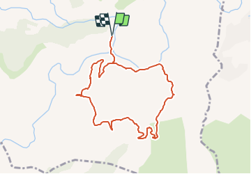


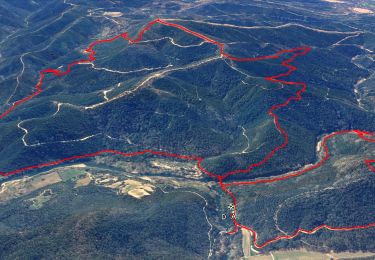
15.4 km | 22 km-effort


... Le plaisir d'être bien ensemble


FREE GPS app for hiking
 SityTrail
IGN / Geographical institutes
SityTrail World
The world is yours!
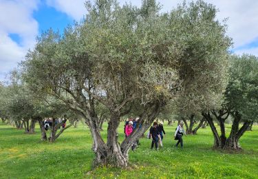
Trail On foot of 9.5 km to be discovered at Provence-Alpes-Côte d'Azur, Var, Les Arcs-sur-Argens. This trail is proposed by Rando-FCL-Puget.
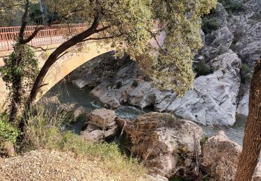
Départ Parking Pont de Tournavelle
Coord Gps : 43.4349,6.5107
Walking

Walking
Walking
Walking
Walking

Walking
Walking
Walking
Walking