


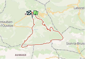


11.4 km | 18.6 km-effort


User


FREE GPS app for hiking
 SityTrail
IGN / Geographical institutes
SityTrail World
The world is yours!
Trail Walking of 17.8 km to be discovered at Auvergne-Rhône-Alpes, Drôme, Montauban-sur-l'Ouvèze. This trail is proposed by Jacques ALBERT.
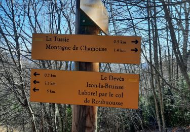
Départ de l éplingle de Ruissas , mais on peut partir de Somecure
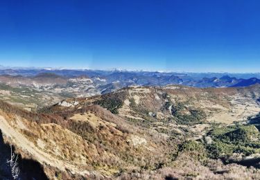
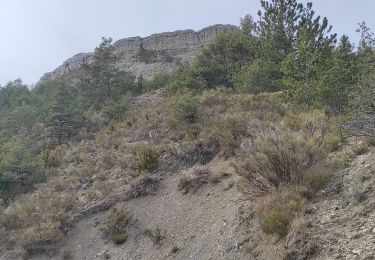
Chamouse l hiver , il est possible de faire la pririe sommitale en raquettes si enneigé
Walking
Walking
Walking
Walking
Walking
Walking
Walking
Walking
Walking