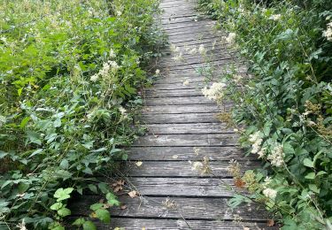
39 km | 50 km-effort
Barrage
Midego
User
Length
7.6 km
Max alt
579 m
Uphill gradient
160 m
Km-Effort
9.7 km
Min alt
504 m
Downhill gradient
159 m
Boucle
Yes
Creation date :
2021-12-07 12:39:38.95
Updated on :
2021-12-07 14:55:05.389
2h14
Difficulty : Medium
FREE GPS app for hiking
About
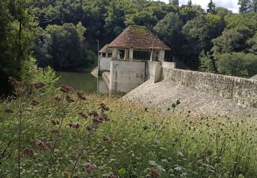
Trail Walking of 7.6 km to be discovered at Auvergne-Rhône-Alpes, Cantal, Saint-Étienne-Cantalès. This trail is proposed by Midego.
Positioning
Country:
France
Region :
Auvergne-Rhône-Alpes
Department/Province :
Cantal
Municipality :
Saint-Étienne-Cantalès
Location:
Unknown
Start:(Dec)
Start:(UTM)
439864 ; 4977130 (31T) N.
Comments
Trails nearby
Laroquebrou circuit autour du lac
Road bike
Medium
Laroquebrou,
Auvergne-Rhône-Alpes,
Cantal,
France
2h 15min
Yes
Boucle du Marais Cassan Calvanhac
Walking
Easy
Lacapelle-Viescamp,
Auvergne-Rhône-Alpes,
Cantal,
France
15.2 km | 18.1 km-effort
3h 23min
Yes
La Via Arverna (Laroquebrou - Camps-Saint-Mathurin)
Walking
Difficult
Laroquebrou,
Auvergne-Rhône-Alpes,
Cantal,
France
24 km | 34 km-effort
7h 30min
No
Cas 11 bis
Walking
Medium
Nieudan,
Auvergne-Rhône-Alpes,
Cantal,
France
7.1 km | 9.3 km-effort
3h 6min
Yes
Le Meyrou
Walking
Medium
Nieudan,
Auvergne-Rhône-Alpes,
Cantal,
France
6.9 km | 8.7 km-effort
3h 8min
No
Tour du barrage de st Étienne cantales
Road bike
Ytrac,
Auvergne-Rhône-Alpes,
Cantal,
France
31 km | 40 km-effort
1h 44min
Yes
Les Garrigues Laveissiere Le Meyniel
Walking
Medium
Nieudan,
Auvergne-Rhône-Alpes,
Cantal,
France
5.7 km | 7.8 km-effort
1h 42min
Yes
La Gourgue Cas2
Walking
Medium
Nieudan,
Auvergne-Rhône-Alpes,
Cantal,
France
6.6 km | 9.2 km-effort
2h 56min
Yes
Grand Laveissieres Le Meyniel
Walking
Medium
Nieudan,
Auvergne-Rhône-Alpes,
Cantal,
France
5.2 km | 7 km-effort
2h 17min
Yes