


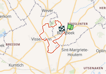


12.8 km | 13.8 km-effort

User


FREE GPS app for hiking
 SityTrail
IGN / Geographical institutes
SityTrail World
The world is yours!
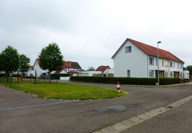
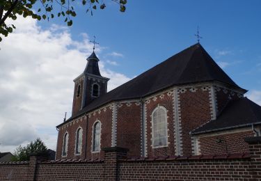
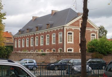
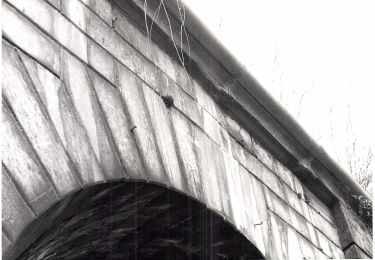
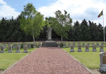
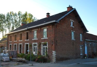
Trail Walking of 11 km to be discovered at Flanders, Flemish Brabant, Glabbeek. This trail is proposed by Thierry0032.
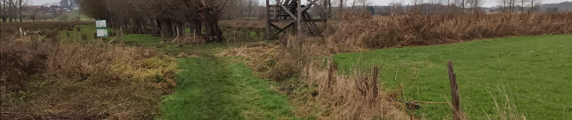
Promenade par dejoli chemin et sentier. En hiver et par temps pluvieux, prévoyez des bonnes chaussures de marche étanches.


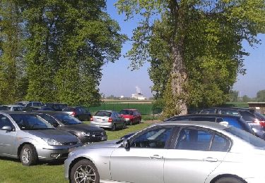
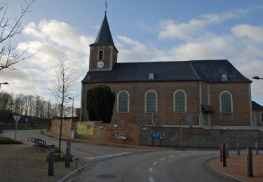
25 photos in total. Please click on a photo to see them all in the gallery.
Walking
On foot
On foot
On foot
On foot
On foot
On foot
On foot

On foot