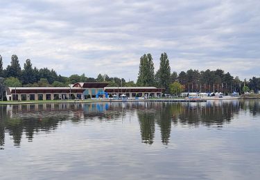
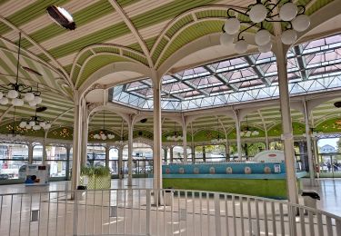
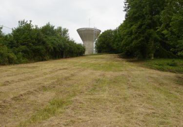
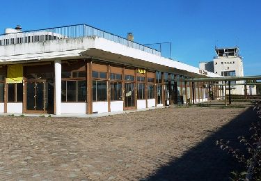
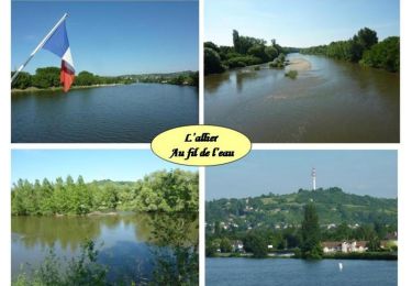
Trail Walking Vichy - Plan d’eau vichy - Photo
© OpenStreetMap contributors
Length
Length
7 km
Max alt
Max alt
264 m
Uphill gradient
Uphill gradient
37 m
Km-Effort
Km-Effort  
7.5 km
Min alt
Min alt
249 m
Downhill gradient
Downhill gradient
35 m
Boucle
Boucle
Yes
Creation date :
2021-12-05 09:07:25.0
Updated on :
2021-12-05 10:34:22.743

(0 Reviews)

Walking
Walking
1h26
Difficulty : Easy

Scan this QR Code to open this trail in the SityTrail application

FREE GPS app for hiking

Logo SityTrail SityTrail

IGN / Geographical institutes

Download SityTrail from the App Store Download SityTrail from Google Play

Logo SityTrail SityTrail World

The world is yours!

Download SityTrail from the App Store Download SityTrail from Google Play Download SityTrail on Huawei AppGallery

About

Trail Walking of 7 km to be discovered at Auvergne-Rhône-Alpes, Allier, Vichy. This trail is proposed by Vincent Bicard.

Description

Froid léger vent du nord au bord de lot bonne balade terrain plat non vallonné marche sur béton et un petit peu de sable

Elevation profile

Positioning

Country:
France
Region :
Auvergne-Rhône-Alpes
Department/Province :
Allier
Municipality :
Vichy
Location:
Unknown
Start:(UTM)
532150 ; 5108931 (31T) N.

Trails nearby

Trail Walking Bellerive-sur-Allier - Tour du lac d'Allier - Photo
Walking
rigol05

Walking

Easy
Bellerive-sur-Allier, Auvergne-Rhône-Alpes, Allier, France
7.1 km | 7.6 km-effort
1h 54min
Yes
Trail Walking Vichy - A la découverte de Vichy - Photo
Walking
rigol05

Walking

Easy
Vichy, Auvergne-Rhône-Alpes, Allier, France
10 km | 11 km-effort
2h 29min
Yes
Trail Running Bellerive-sur-Allier - jour 9 CAP Jeanot - Photo
Running
jeannat

Running

Very easy
Bellerive-sur-Allier, Auvergne-Rhône-Alpes, Allier, France
29 km | 33 km-effort
3h 5min
No
Trail Walking Creuzier-le-Vieux - Circuit bleu de Creuzier-Le-Vieux  - Photo
Walking
tracegps

Walking

Easy
(1)
Creuzier-le-Vieux, Auvergne-Rhône-Alpes, Allier, France
4.5 km | 5.9 km-effort
1h 10min
Yes
Trail Walking Creuzier-le-Vieux - Circuit Jaune de Creuzier Le Vieux - Photo
Walking
tracegps

Walking

Easy
Creuzier-le-Vieux, Auvergne-Rhône-Alpes, Allier, France
7.2 km | 9.5 km-effort
1h 49min
Yes
Trail Mountain bike Charmeil - La Marche des Feuilles Mortes (parcours VTT) - Charmeil - Photo
Mountain bike
tracegps

Mountain bike

Medium
Charmeil, Auvergne-Rhône-Alpes, Allier, France
46 km | 51 km-effort
3h 0min
Yes
Trail Mountain bike Bellerive-sur-Allier - VTT - L'Évasion Bellerivoise - Bellerive sur Allier - Photo
Mountain bike
tracegps

Mountain bike

Difficult
Bellerive-sur-Allier, Auvergne-Rhône-Alpes, Allier, France
57 km | 67 km-effort
3h 45min
Yes
Trail Mountain bike Vichy - Rives et Boires de l'Allier - Photo
Mountain bike
tracegps

Mountain bike

Easy
(1)
Vichy, Auvergne-Rhône-Alpes, Allier, France
19.9 km | 21 km-effort
1h 45min
Yes
Trail Walking Le Vernet - Les 2 vallées: de l'Allier et du Sichon) - Photo
Walking
tracegps

Walking

Medium
(1)
Le Vernet, Auvergne-Rhône-Alpes, Allier, France
10.3 km | 13.1 km-effort
2h 30min
Yes


Close
My subscriptions