


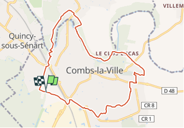


16.8 km | 18.6 km-effort
![Trail Walking Combs-la-Ville - [visibles] - Photo](https://media.geolcdn.com/t/1900/400/ext.pjpeg?maxdim=2&url=https%3A%2F%2Fstatic1.geolcdn.com%2Fsiteimages%2Fupload%2Ffiles%2F1553511878bg_sport_marche.png)

Club randonnées SERVON


FREE GPS app for hiking
 SityTrail
IGN / Geographical institutes
SityTrail World
The world is yours!
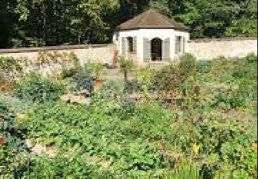
Trail Walking of 10.8 km to be discovered at Ile-de-France, Seine-et-Marne, Combs-la-Ville. This trail is proposed by Les 1000 pattes.
Parking Avenue de la Forêt à Combs la Ville à côté du parcours sportif
Trajet Servon-->Parking (15km: 14mn)

Walking
On foot

Walking

Walking

On foot
On foot

On foot
Walking
Walking