


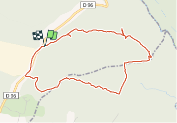

11.8 km | 16.4 km-effort


User


FREE GPS app for hiking
 SityTrail
IGN / Geographical institutes
SityTrail World
The world is yours!
Trail Walking of 5.4 km to be discovered at Provence-Alpes-Côte d'Azur, Var, Callian. This trail is proposed by marcheetnature.
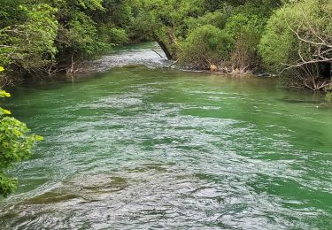
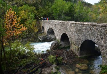
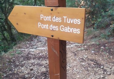
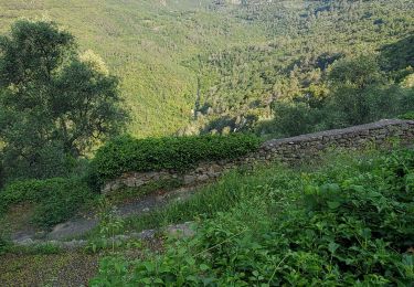
contrairement à ce qu'indique le dénivelé sur la carte IGN, ce n'est pas ce que l'on appelle une rando zen; en effet après de larges pistes ,la descente relativement abrupte s'est effectuée par un petit sentier pierreux et recouvert de feuilles glissantes et que dire de la remontée....la fin du parcours se faisant à nouveau par des pistes faciles
Walking

Walking
Walking
Walking
Walking
Walking
Walking
Walking
Walking