


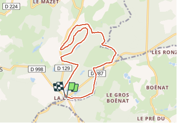

21 km | 27 km-effort


User


FREE GPS app for hiking
 SityTrail
IGN / Geographical institutes
SityTrail World
The world is yours!
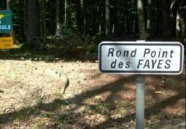
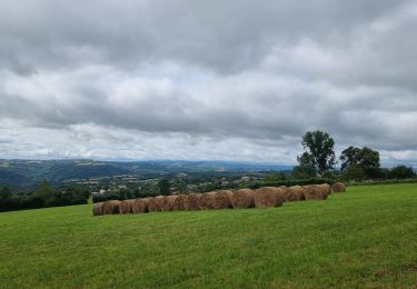
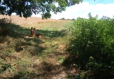
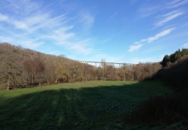
Trail Walking of 8.7 km to be discovered at Auvergne-Rhône-Alpes, Allier, Échassières. This trail is proposed by Vincent Bicard.
Balade Dupuis de Julia sous la neige vent à 30 km à l’heure avec en moyenne 10 cm de neige par endroit 20 cm marche sans raquette
Walking
Mountain bike
Walking

On foot
On foot

Walking
Walking

Equestrian
Walking