5.1 km | 6.2 km-effort
aĺumes
Guiz80
User
Length
11.5 km
Max alt
175 m
Uphill gradient
256 m
Km-Effort
14.9 km
Min alt
88 m
Downhill gradient
255 m
Boucle
No
Creation date :
2021-11-27 16:57:27.911
Updated on :
2021-11-27 19:55:36.382
2h56
Difficulty : Difficult
FREE GPS app for hiking
About
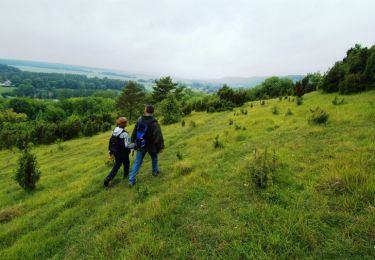
Trail Walking of 11.5 km to be discovered at Hauts-de-France, Somme, Namps-Maisnil. This trail is proposed by Guiz80.
Positioning
Country:
France
Region :
Hauts-de-France
Department/Province :
Somme
Municipality :
Namps-Maisnil
Location:
Unknown
Start:(Dec)
Start:(UTM)
435298 ; 5516722 (31U) N.
Comments
Trails nearby
Le Parcours du chevreuil
Walking
Easy
(1)
Bacouel-sur-Selle,
Hauts-de-France,
Somme,
France
1h 40min
Yes
Les Monts de Velennes
On foot
Easy
Contre,
Hauts-de-France,
Somme,
France
5.9 km | 6.7 km-effort
1h 30min
No
Le Parcours du Chevreuil
On foot
Easy
Bacouel-sur-Selle,
Hauts-de-France,
Somme,
France
5 km | 6 km-effort
1h 22min
Yes
Le balcon des Evoissons
Walking
Medium
(1)
Famechon,
Hauts-de-France,
Somme,
France
13.4 km | 17.1 km-effort
3h 42min
Yes
Les étangs de Conty
Walking
Easy
Ô-de-Selle,
Hauts-de-France,
Somme,
France
7.9 km | 8.6 km-effort
1h 53min
Yes
La coulée verte en Somme (2)
Walking
Medium
Ô-de-Selle,
Hauts-de-France,
Somme,
France
9.7 km | 10.6 km-effort
3h 0min
No
Loeuilly
sport
Very easy
Ô-de-Selle,
Hauts-de-France,
Somme,
France
9 km | 10.2 km-effort
Unknown
Yes
Taisnil
Walking
Medium
Namps-Maisnil,
Hauts-de-France,
Somme,
France
9.4 km | 12 km-effort
2h 43min
Yes