


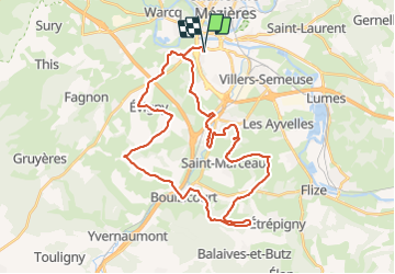

28 km | 33 km-effort


User


FREE GPS app for hiking
 SityTrail
IGN / Geographical institutes
SityTrail World
The world is yours!
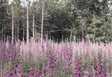
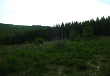
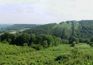
Trail Mountain bike of 37 km to be discovered at Grand Est, Ardennes, Charleville-Mézières. This trail is proposed by GeGe08.
Charleville la Francheville La Vence Saint Marceau Chalandry spéciale bois Balaives Boulzicourt Champigneul Evigny Warnecourt Mézières
Walking
Walking

Walking
Mountain bike
Walking

Walking
Mountain bike
Mountain bike
Mountain bike