

Vaux-le-Pénil
Les 1000 pattes
Club randonnées SERVON

Length
11.4 km

Max alt
85 m

Uphill gradient
122 m

Km-Effort
13 km

Min alt
37 m

Downhill gradient
117 m
Boucle
Yes
Creation date :
2021-11-27 12:37:04.298
Updated on :
2021-11-27 13:15:04.254
2h57
Difficulty : Medium

FREE GPS app for hiking
About
Trail Walking of 11.4 km to be discovered at Ile-de-France, Seine-et-Marne, Vaux-le-Pénil. This trail is proposed by Les 1000 pattes.
Description
Parking Route de Chartrettes D39 à Vaux le Pénil (en bordure de Seine)
Trajet Servon-->Parking (25km: 30mn)
Positioning
Country:
France
Region :
Ile-de-France
Department/Province :
Seine-et-Marne
Municipality :
Vaux-le-Pénil
Location:
Unknown
Start:(Dec)
Start:(UTM)
475663 ; 5375138 (31U) N.
Comments
Trails nearby
melun-bas.samois


Mountain bike
Medium
(1)
Melun,
Ile-de-France,
Seine-et-Marne,
France

38 km | 43 km-effort
2h 45min
Yes
Le tour du Grand Paris via le gr1 : Etape 13 Melun Barbizon


Walking
Easy
Melun,
Ile-de-France,
Seine-et-Marne,
France

27 km | 33 km-effort
5h 55min
No

20220330 - Forêt de Bréviande 15km


Walking
Difficult
(1)
Vert-Saint-Denis,
Ile-de-France,
Seine-et-Marne,
France

14.6 km | 16.3 km-effort
3h 42min
Yes

sur-les-pas-de-paul-c-zanne


On foot
Very easy
(3)
Maincy,
Ile-de-France,
Seine-et-Marne,
France

6 km | 7.2 km-effort
1h 38min
Yes
Alentours de Melun


Walking
Very difficult
Chartrettes,
Ile-de-France,
Seine-et-Marne,
France

25 km | 30 km-effort
5h 15min
No
vaux le pénil - blandy les tours


Walking
Very easy
Maincy,
Ile-de-France,
Seine-et-Marne,
France

21 km | 24 km-effort
5h 44min
Yes
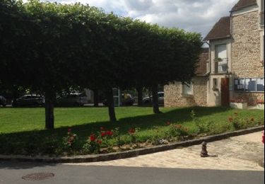
Melun -- charrettes


Walking
Very easy
Melun,
Ile-de-France,
Seine-et-Marne,
France

14.7 km | 16.5 km-effort
3h 48min
No
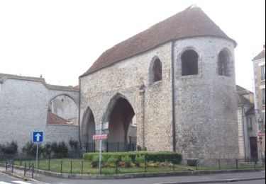
de Bois le Roy à Melun


Walking
Very easy
La Rochette,
Ile-de-France,
Seine-et-Marne,
France

15.7 km | 17.5 km-effort
4h 20min
No
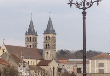
Melun 01


Walking
Very easy
Le Mée-sur-Seine,
Ile-de-France,
Seine-et-Marne,
France

8 km | 9.1 km-effort
4h 26min
No




 SityTrail


