

Circuit des villages

houbart
User

Length
8.2 km

Max alt
220 m

Uphill gradient
180 m

Km-Effort
10.6 km

Min alt
120 m

Downhill gradient
179 m
Boucle
Yes
Creation date :
2019-03-28 15:47:38.3
Updated on :
2019-03-28 15:47:38.359
2h06
Difficulty : Medium

FREE GPS app for hiking
About
Trail Walking of 8.2 km to be discovered at New Aquitaine, Corrèze, Saint-Aulaire. This trail is proposed by houbart.
Description
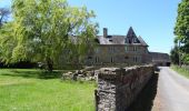
Départ Mairie de Saint-Aulaire. Petits villages pittoresques et jolis points de vue. Au mois de mai, le chemin bordé de cerisiers offre un petit goûter fort sympathique.
Par temps humide, le chemin qui remonte vers Gorbas est détrempé, prévoir chaussures étanches.
Positioning
Country:
France
Region :
New Aquitaine
Department/Province :
Corrèze
Municipality :
Saint-Aulaire
Location:
Unknown
Start:(Dec)
Start:(UTM)
373272 ; 5010619 (31T) N.
Comments
Trails nearby
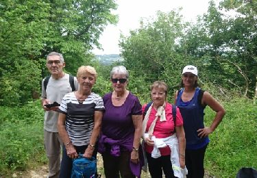
Ayen-160621 - CoteauxAyenSud


Walking
Easy
(1)
Ayen,
New Aquitaine,
Corrèze,
France

6.4 km | 8.8 km-effort
1h 50min
No

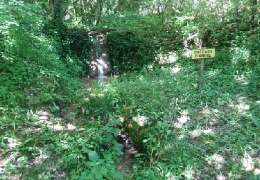
Ayen-160622 - Ayen-SaintCyprien


Walking
Easy
Ayen,
New Aquitaine,
Corrèze,
France

9.3 km | 12.9 km-effort
2h 40min
No

perpezac_3


Walking
Medium
(1)
Perpezac-le-Blanc,
New Aquitaine,
Corrèze,
France

7.4 km | 10.3 km-effort
2h 13min
Yes

Ruisseaux et côteaux- Saint-Cyprien


Walking
Easy
(3)
Saint-Cyprien,
New Aquitaine,
Corrèze,
France

6.4 km | 9.1 km-effort
1h 59min
Yes

Ayen, lavoirs, châteaux et puys


Walking
Easy
Ayen,
New Aquitaine,
Corrèze,
France

5.5 km | 7.6 km-effort
2h 0min
Yes

Objat-St Cyr la Roche


Walking
Easy
Objat,
New Aquitaine,
Corrèze,
France

8 km | 10.5 km-effort
2h 12min
Yes
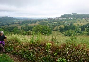
Ayen-160620 - CoteauxAyenNord


Walking
Easy
Ayen,
New Aquitaine,
Corrèze,
France

6.4 km | 8.5 km-effort
2h 0min
No
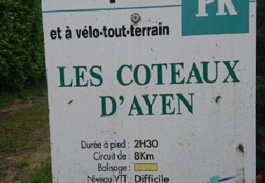
Ayen-160619 - TableOrientationAyen


Walking
Very easy
Ayen,
New Aquitaine,
Corrèze,
France

8.5 km | 10.8 km-effort
2h 15min
Yes


 SityTrail



suivre fléchage jaune.