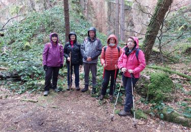
12.7 km | 20 km-effort
linthal hilsen obersengeren
wirth
User
Length
10.8 km
Max alt
1050 m
Uphill gradient
571 m
Km-Effort
18.4 km
Min alt
557 m
Downhill gradient
576 m
Boucle
Yes
Creation date :
2021-11-24 19:27:32.309
Updated on :
2021-11-24 19:28:24.604
4h11
Difficulty : Easy
FREE GPS app for hiking
About
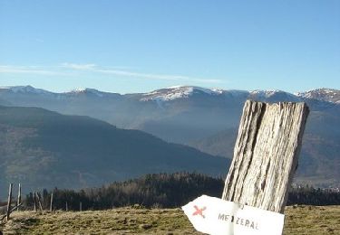
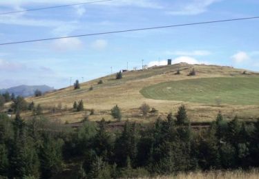
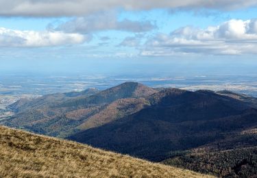
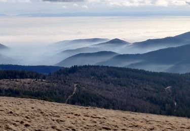
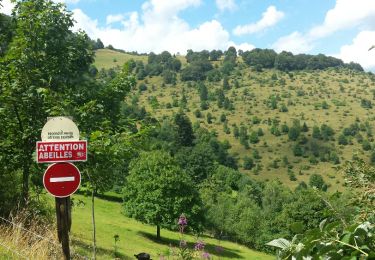
Trail On foot of 10.8 km to be discovered at Grand Est, Haut-Rhin, Linthal. This trail is proposed by wirth .
Positioning
Country:
France
Region :
Grand Est
Department/Province :
Haut-Rhin
Municipality :
Linthal
Location:
Unknown
Start:(Dec)
Start:(UTM)
359715 ; 5313140 (32T) N.
Comments
Trails nearby
Tour de la grande Vallée de Munster (refuge du Hilsen - Munster)
Walking
Difficult
(1)
Linthal,
Grand Est,
Haut-Rhin,
France
18.1 km | 24 km-effort
5h 0min
No
Le Markstein
Walking
Difficult
(1)
Lautenbachzell,
Grand Est,
Haut-Rhin,
France
22 km | 35 km-effort
6h 0min
Yes
suuntoapp-Hiking-2023-10-22T08-43-15Z
Walking
Medium
Rouffach,
Grand Est,
Haut-Rhin,
France
19 km | 33 km-effort
7h 34min
Yes
SityTrail - Remspach-Hilsen
Walking
Medium
(1)
Linthal,
Grand Est,
Haut-Rhin,
France
9.9 km | 14.6 km-effort
3h 3min
Yes
Boenlesgrab - Drei Schöpf - Bannwald - Chalet St Hubert - Brunnemaëttlé - Was...
On foot
Medium
(1)
Wasserbourg,
Grand Est,
Haut-Rhin,
France
10.2 km | 14.2 km-effort
Unknown
Yes
SityTrail - Boenlesgrab- Strohberg
Walking
Difficult
(1)
Wasserbourg,
Grand Est,
Haut-Rhin,
France
9.6 km | 15.1 km-effort
3h 0min
Yes
2020-01-02 Marche Landersen Petit Ballon
Walking
Difficult
Sondernach,
Grand Est,
Haut-Rhin,
France
17.6 km | 28 km-effort
3h 4min
Yes
AMAELLES - Rando 06/01/2025 - Bulh
Walking
Medium
Buhl,
Grand Est,
Haut-Rhin,
France
5.4 km | 8.3 km-effort
1h 53min
Yes