


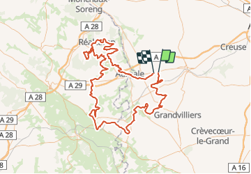

16.3 km | 19.6 km-effort

User


FREE GPS app for hiking
 SityTrail
IGN / Geographical institutes
SityTrail World
The world is yours!
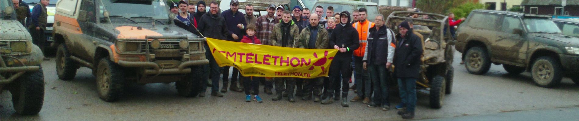
Trail 4x4 of 156 km to be discovered at Hauts-de-France, Somme, Lignières-Châtelain. This trail is proposed by club de la bresle.
RANDO 4X4


Walking
Walking

Running

Mountain bike

Other activity