


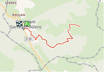

10.5 km | 20 km-effort

User


FREE GPS app for hiking
 SityTrail
IGN / Geographical institutes
SityTrail World
The world is yours!
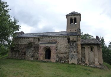
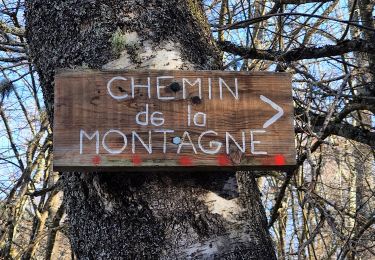
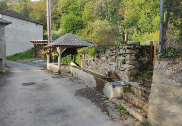
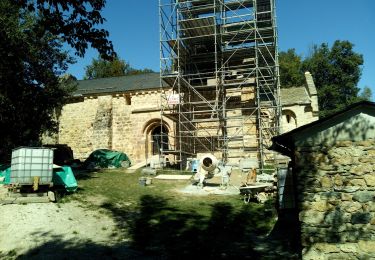
Trail Walking of 10.5 km to be discovered at Occitania, Ariège, Cazenave-Serres-et-Allens. This trail is proposed by chrisgps.
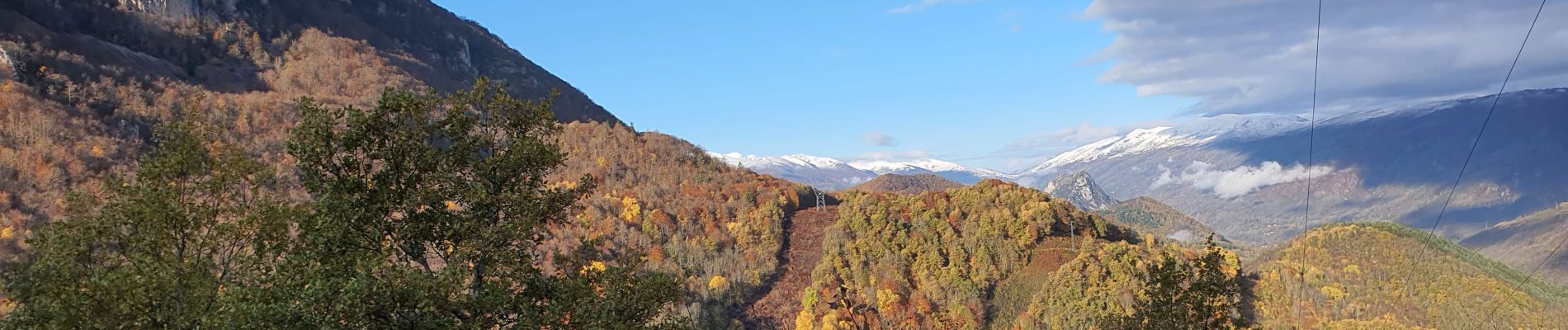
aller plus loin aurait été difficile sans les raquettes....!
on reviendra !


Walking

Walking

Running
Walking
Walking
On foot
Walking
Walking