


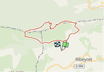

15.4 km | 25 km-effort

User


FREE GPS app for hiking
 SityTrail
IGN / Geographical institutes
SityTrail World
The world is yours!
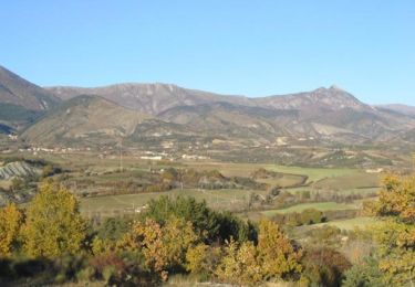
Trail Walking of 9.2 km to be discovered at Provence-Alpes-Côte d'Azur, Hautes-Alpes, Ribeyret. This trail is proposed by PapouBertrand.
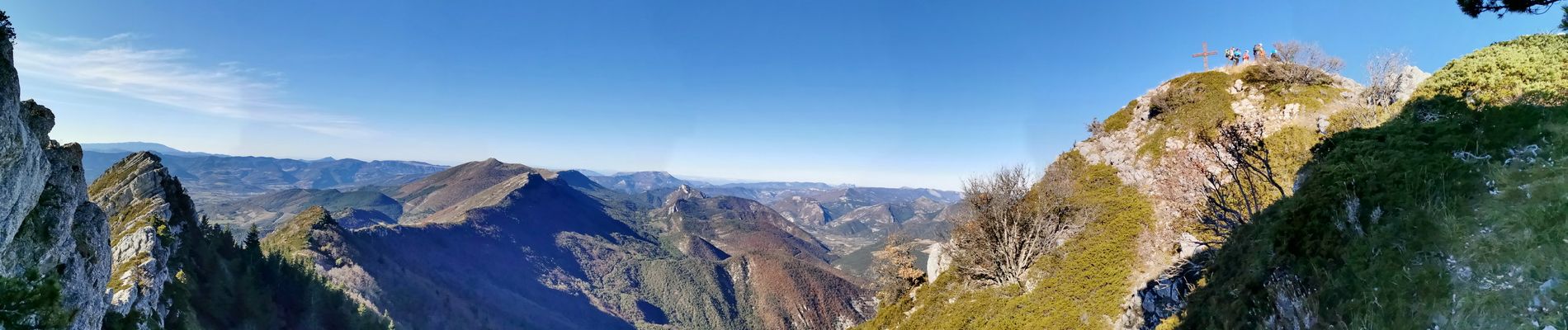
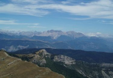
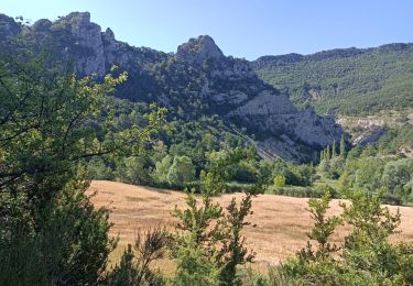
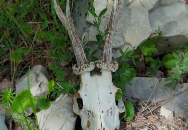
Sur la ligne de crète il faut souvent y mettre les mains. La descente vers les casses est très peu fréquentée et tres mal balisé.


Walking
Walking
Other activity
Walking
Walking

Mountain bike

Mountain bike
Walking
Walking