


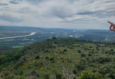
16.8 km | 26 km-effort


User GUIDE


FREE GPS app for hiking
 SityTrail
IGN / Geographical institutes
SityTrail World
The world is yours!
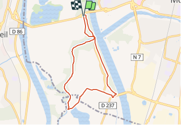
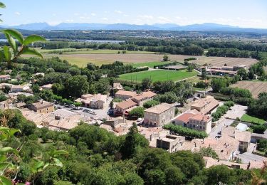
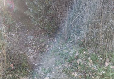
Trail Walking of 7.5 km to be discovered at Auvergne-Rhône-Alpes, Drôme, Montélimar. This trail is proposed by thonyc.
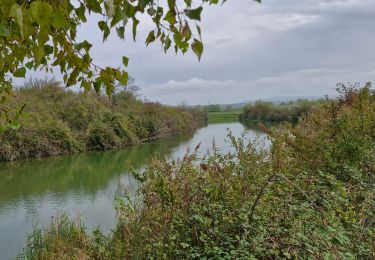
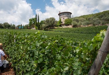
Au fil de l'eau, laissez vous guider, du Roubion à la ViaRhôna : une halte pique-nique s'impose sur les berges ombragées !
Walking
Walking
Walking
Walking

Nordic walking

Walking
Walking
Walking
Walking