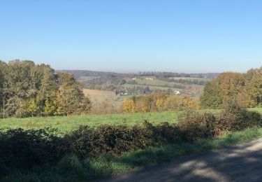
20 km | 24 km-effort
Mondoubleau sud retour Laniau
Pierrannick
User
Length
16.9 km
Max alt
213 m
Uphill gradient
257 m
Km-Effort
20 km
Min alt
98 m
Downhill gradient
256 m
Boucle
Yes
Creation date :
2021-11-12 20:12:50.0
Updated on :
2021-11-14 18:35:22.986
--
Difficulty : Unknown
FREE GPS app for hiking
About
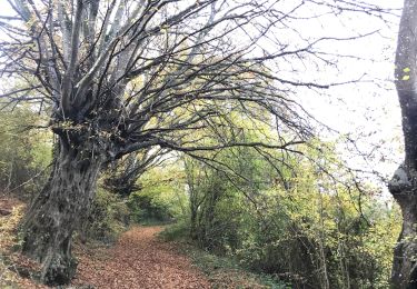
Trail Running of 16.9 km to be discovered at Centre-Loire Valley, Loir-et-Cher, Mondoubleau. This trail is proposed by Pierrannick.
Positioning
Country:
France
Region :
Centre-Loire Valley
Department/Province :
Loir-et-Cher
Municipality :
Mondoubleau
Location:
Unknown
Start:(Dec)
Start:(UTM)
343364 ; 5316355 (31T) N.
Comments
Trails nearby
Mondoubleau - Pont d'Abas - Roclane
Walking
Very difficult
(1)
Mondoubleau,
Centre-Loire Valley,
Loir-et-Cher,
France
5h 20min
Yes
Mondoubleau sud
Walking
Easy
(1)
Mondoubleau,
Centre-Loire Valley,
Loir-et-Cher,
France
16 km | 19.5 km-effort
3h 0min
Yes
Boucle Cormenon à Epuisay - Mondoubleau
Mountain bike
Medium
Cormenon,
Centre-Loire Valley,
Loir-et-Cher,
France
29 km | 33 km-effort
2h 0min
Yes
Mondoubleau sud retour Laniau-Maladrie
Walking
Very difficult
Mondoubleau,
Centre-Loire Valley,
Loir-et-Cher,
France
16.6 km | 20 km-effort
2h 34min
Yes
Mondoubleau sud retour Laniau Maladrie
Running
Mondoubleau,
Centre-Loire Valley,
Loir-et-Cher,
France
16.7 km | 20 km-effort
2h 6min
Yes
Mondoubleau - Roclane
Running
(1)
Mondoubleau,
Centre-Loire Valley,
Loir-et-Cher,
France
17 km | 20 km-effort
2h 0min
Yes
Mondoubleau nord Beaufeu Cormenon 16,5
Walking
Mondoubleau,
Centre-Loire Valley,
Loir-et-Cher,
France
16.3 km | 19.7 km-effort
2h 58min
Yes
Mdb Ouest Bayou Cormenon maladrie
Running
Mondoubleau,
Centre-Loire Valley,
Loir-et-Cher,
France
18.1 km | 22 km-effort
2h 20min
Yes
monndoublrau safgé 8 mai
Walking
Very difficult
Mondoubleau,
Centre-Loire Valley,
Loir-et-Cher,
France
25 km | 29 km-effort
5h 24min
No