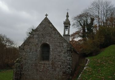
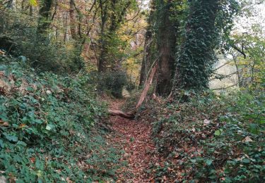
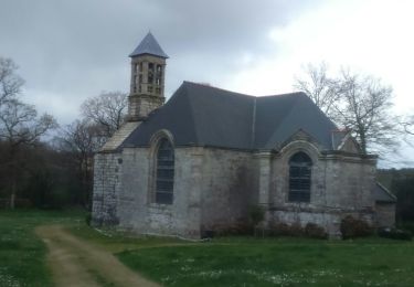
3.7 km | 4.6 km-effort
2021-11-12_18h58m42_activity_7348757378
Bleunven Clément
User
Length
31 km
Max alt
156 m
Uphill gradient
681 m
Km-Effort
41 km
Min alt
25 m
Downhill gradient
685 m
Boucle
Yes
Creation date :
2021-11-12 17:58:49.251
Updated on :
2021-11-12 17:58:54.694
FREE GPS app for hiking
About
Trail of 31 km to be discovered at Brittany, Finistère, Plonéis. This trail is proposed by Bleunven Clément.
Positioning
Country:
France
Region :
Brittany
Department/Province :
Finistère
Municipality :
Plonéis
Location:
Unknown
Start:(Dec)
Start:(UTM)
409709 ; 5318858 (30U) N.
Comments
Trails nearby
plogastel
Walking
Difficult
Plogastel-Saint-Germain,
Brittany,
Finistère,
France
12.2 km | 14.1 km-effort
2h 40min
No
PLOGASTEL SAINT GERMAIN
Walking
Medium
Plogastel-Saint-Germain,
Brittany,
Finistère,
France
21 km | 26 km-effort
5h 37min
Yes
le juch bois du Nevet
Mountain bike
Medium
(1)
Guengat,
Brittany,
Finistère,
France
22 km | 27 km-effort
1h 46min
Yes
les vallées de Plogastel 2h40 11km
Walking
Very easy
Plogastel-Saint-Germain,
Brittany,
Finistère,
France
11 km | 13.4 km-effort
Unknown
Yes
plogastel 2
On foot
Easy
Plogastel-Saint-Germain,
Brittany,
Finistère,
France
11.1 km | 13.4 km-effort
3h 2min
Yes