


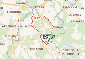

10.3 km | 12.3 km-effort


User


FREE GPS app for hiking
 SityTrail
IGN / Geographical institutes
SityTrail World
The world is yours!
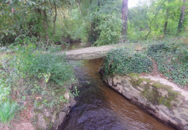
Trail On foot of 10.5 km to be discovered at Pays de la Loire, Vendée, Nesmy. This trail is proposed by cath310.
appelée également Sentier de L'Aulne parcours 9 (PAYS DE YON & VIE)
D/R du parking du jumelage, face au foyer Laborit.
gps N46.59185°/W1.398850°
Balisage JAUNE N°9
durée 3h , facile
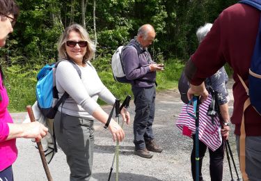
Walking

Walking
Walking
Walking
Walking

On foot

On foot

Cycle