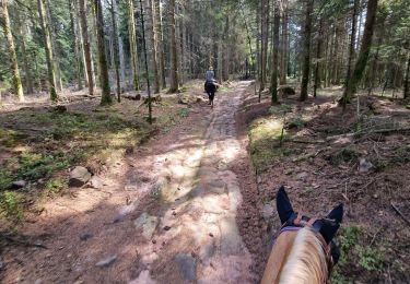
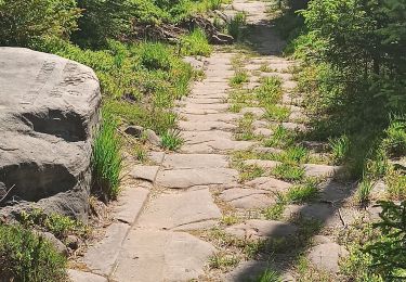
45 km | 58 km-effort
Lilas
audrey54
User
Length
5.7 km
Max alt
437 m
Uphill gradient
130 m
Km-Effort
7.5 km
Min alt
321 m
Downhill gradient
150 m
Boucle
No
Creation date :
2021-11-09 13:39:12.0
Updated on :
2021-11-09 15:06:04.533
1h26
Difficulty : Medium
FREE GPS app for hiking
About
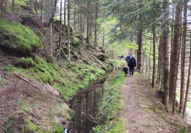
Trail Walking of 5.7 km to be discovered at Grand Est, Meurthe-et-Moselle, Petitmont. This trail is proposed by audrey54.
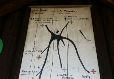
Positioning
Country:
France
Region :
Grand Est
Department/Province :
Meurthe-et-Moselle
Municipality :
Petitmont
Location:
Unknown
Start:(Dec)
Start:(UTM)
349895 ; 5379267 (32U) N.
Comments
Trails nearby
sortie vtt du 20052018
Mountain bike
Difficult
Bertrambois,
Grand Est,
Meurthe-et-Moselle,
France
2h 35min
Yes
thiaville, les hauts faîte planches vala des fous
Trail
Easy
(1)
Angomont,
Grand Est,
Meurthe-et-Moselle,
France
12.9 km | 16.9 km-effort
Unknown
Yes
scierie Machet
Walking
Medium
Saint-Sauveur,
Grand Est,
Meurthe-et-Moselle,
France
18.3 km | 25 km-effort
20h 36min
Yes
saint sauveur gros chêne château turquestein
Horseback riding
Medium
Saint-Sauveur,
Grand Est,
Meurthe-et-Moselle,
France
23 km | 29 km-effort
3h 47min
No
Les roches de l'aigle
Walking
Easy
Angomont,
Grand Est,
Meurthe-et-Moselle,
France
11 km | 14.5 km-effort
3h 4min
Yes
val et Chatillon
Walking
Easy
Val-et-Châtillon,
Grand Est,
Meurthe-et-Moselle,
France
12.6 km | 16.6 km-effort
2h 9min
Yes
Cirey-sur-Vezouze direction turquestein
Horseback riding
Medium
Cirey-sur-Vezouze,
Grand Est,
Meurthe-et-Moselle,
France
23 km | 32 km-effort
5h 2min
No
val et chatillon
Walking
Medium
Val-et-Châtillon,
Grand Est,
Meurthe-et-Moselle,
France
19.3 km | 26 km-effort
6h 37min
Yes
Lafrimbole
Mountain bike
Difficult
(1)
Lafrimbolle,
Grand Est,
Moselle,
France
43 km | 55 km-effort
3h 22min
Yes