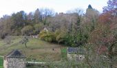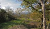

Gorges de la Vézère : Boucle Comborn-le Saillant

houbart
User

Length
21 km

Max alt
387 m

Uphill gradient
800 m

Km-Effort
32 km

Min alt
120 m

Downhill gradient
798 m
Boucle
Yes
Creation date :
2021-11-08 07:46:34.798
Updated on :
2021-11-28 13:50:39.537
7h13
Difficulty : Very difficult

FREE GPS app for hiking
About
Trail Walking of 21 km to be discovered at New Aquitaine, Corrèze, Orgnac-sur-Vézère. This trail is proposed by houbart.
Description
Aller (rive gauche): Estivaux, Pouch, la Roche, Barrage du Saillant, le Saillant (Pont et Château)
Retour (rive droite) : Barrage du Pouch, Barrage de Biard, Comborn (Pont et Château)
Positioning
Country:
France
Region :
New Aquitaine
Department/Province :
Corrèze
Municipality :
Orgnac-sur-Vézère
Location:
Unknown
Start:(Dec)
Start:(UTM)
380450 ; 5019829 (31T) N.
Comments
Trails nearby
Fred BC st bonnet l enfantier


Walking
Medium
Saint-Bonnet-l'Enfantier,
New Aquitaine,
Corrèze,
France

9.1 km | 11.5 km-effort
3h 17min
Yes
20201226 Saillant 20.5K


Trail
Medium
Voutezac,
New Aquitaine,
Corrèze,
France

21 km | 31 km-effort
3h 22min
Yes
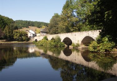
Estivaux_Le Saillant-Gorges de la Vézère


Walking
Difficult
Estivaux,
New Aquitaine,
Corrèze,
France

20 km | 30 km-effort
6h 0min
Yes
Ayen-160623 - Ceyrat-FontaineCrozes


Walking
Medium
Voutezac,
New Aquitaine,
Corrèze,
France

7.5 km | 10.7 km-effort
2h 35min
Yes
Lac et moulins - Vigeois


Walking
Medium
Vigeois,
New Aquitaine,
Corrèze,
France

8.2 km | 11.4 km-effort
2h 40min
Yes
Les coteaux de Vertougit - Voutezac


Walking
Medium
Voutezac,
New Aquitaine,
Corrèze,
France

10.9 km | 15.3 km-effort
3h 30min
Yes
La fontaine des Crozes - Voutezac


Walking
Difficult
(1)
Voutezac,
New Aquitaine,
Corrèze,
France

11.8 km | 16.7 km-effort
3h 0min
Yes
Rocher du diable


Motorbike
Very difficult
Allassac,
New Aquitaine,
Corrèze,
France

3.8 km | 5.4 km-effort
28min
No
saillant


Walking
Easy
Voutezac,
New Aquitaine,
Corrèze,
France

10.9 km | 16.6 km-effort
3h 11min
Yes


 SityTrail


