


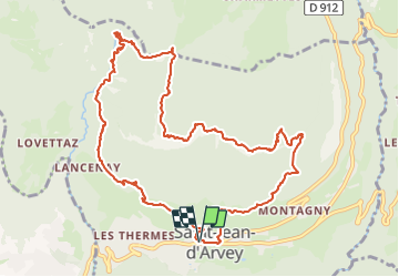

47 km | 82 km-effort

User


FREE GPS app for hiking
 SityTrail
IGN / Geographical institutes
SityTrail World
The world is yours!
Trail Walking of 12.5 km to be discovered at Auvergne-Rhône-Alpes, Savoy, Saint-Jean-d'Arvey. This trail is proposed by Valgaudemar.
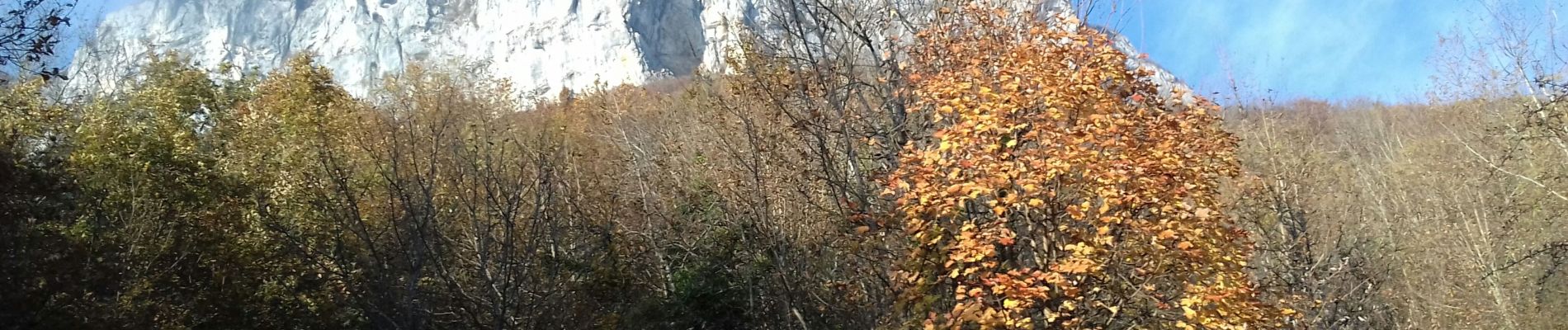
Belvédère du Mont Peney: magnifique panorama sur la Chartreuse, Belledonne
au passage de la Dorette descente raide, glissante, avec présence de câble puis descente soutenue en sous bois


Running

Walking

Mountain bike

Walking

Cycle

Walking
Mountain bike

Walking
Walking