


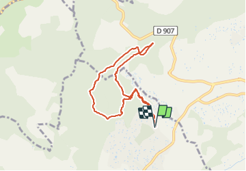

4.7 km | 6.5 km-effort


User


FREE GPS app for hiking
 SityTrail
IGN / Geographical institutes
SityTrail World
The world is yours!
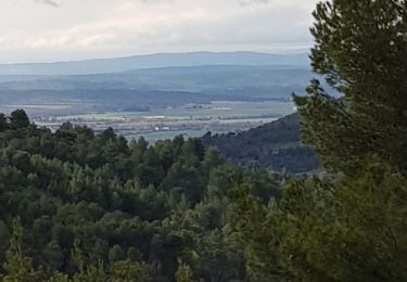
Trail Walking of 8 km to be discovered at Provence-Alpes-Côte d'Azur, Alpes-de-Haute-Provence, Pierrevert. This trail is proposed by liocol.
Départ, petit parking, avenue de Valgas à Pierrevert.
Ça monte un peu raide au début, ensuite sans problème.
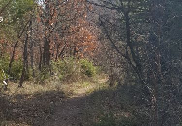
Sur une des 3 photos, vous voyez une boule ( anomalie ) dans l'arbre, c'est un balai de sorcière souvent causé par un virus.


Walking

Walking

Walking
Walking
Walking
Walking
Walking
Walking
Walking