


12.8 km | 15.1 km-effort


User


FREE GPS app for hiking
 SityTrail
IGN / Geographical institutes
SityTrail World
The world is yours!
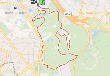
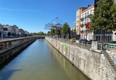
Trail Walking of 5.7 km to be discovered at Brussels-Capital, Unknown, City of Brussels. This trail is proposed by Randos Ouvertes.
Circuit incluant le pourtour du parc du Parc du Kattenberg (entre km 3.6 et 5.3) dont la réouverture est annocée dans la presse. Nécessité d'explorer sur place et d'enregister les chemins réouverts pour les inclure dans OSM.
https://bx1.be/communes/bruxelles-ville/laeken-le-parc-du-kattenberg-rouvert-au-public-37-ans-plus-tard/

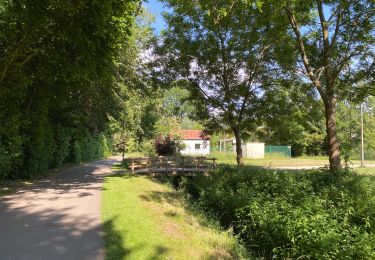
Walking
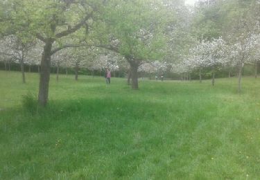
Walking
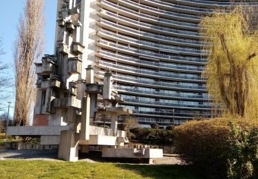
Walking

Walking
Walking
Walking
Cycle
Walking
Walking