


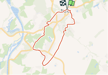

17.1 km | 22 km-effort


User


FREE GPS app for hiking
 SityTrail
IGN / Geographical institutes
SityTrail World
The world is yours!
Trail Walking of 6.8 km to be discovered at Wallonia, Walloon Brabant, Ittre. This trail is proposed by calofrancis.
Balade "courte" avec les MdM. Sans difficultés et sur des chemins faciles la plupart du trajet.
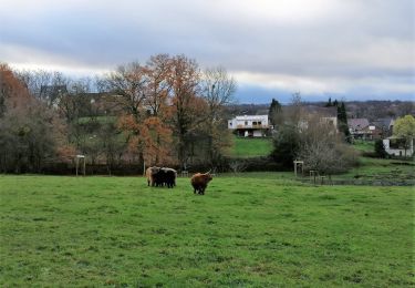
Belles vues panoramiques sur Ittre et la région.

Walking

Walking

Walking
Walking

Walking

Walking

Walking

Walking
Walking