


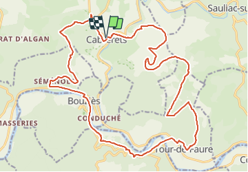


17.7 km | 24 km-effort


User


FREE GPS app for hiking
 SityTrail
IGN / Geographical institutes
SityTrail World
The world is yours!
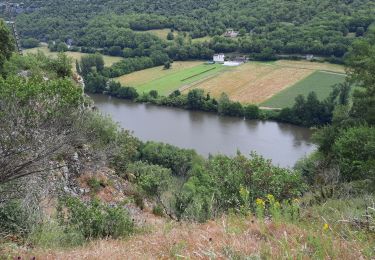
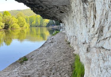
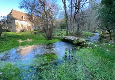
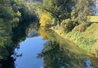
Trail Mountain bike of 28 km to be discovered at Occitania, Lot, Cabrerets. This trail is proposed by sebcar.
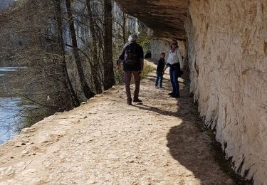
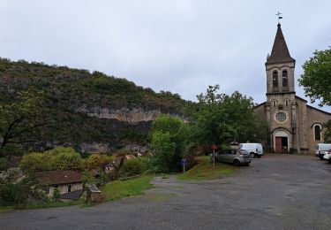
Un des plus beaux circuits du département mais également un des plus sportifs. Les panoramas sur la vallée du Célé, le passage à proximité de Saint- Cirq-Lapopie, un des plus beaux villages de France et Grand Site de Midi-Pyrénées sont grandioses…

Walking
Walking
Walking
Walking
Walking


sport
sport
Walking
Walking