


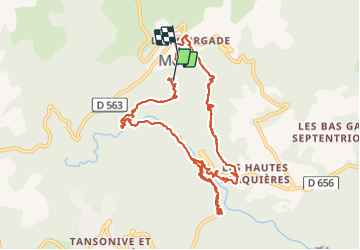

16.2 km | 25 km-effort


User


FREE GPS app for hiking
 SityTrail
IGN / Geographical institutes
SityTrail World
The world is yours!
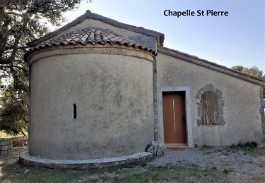
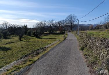
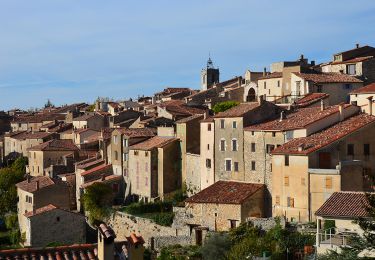
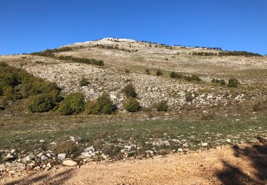
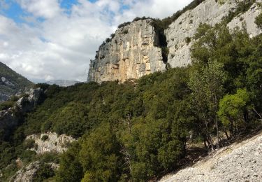
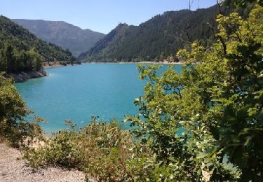
Trail Walking of 13.2 km to be discovered at Provence-Alpes-Côte d'Azur, Var, Mons. This trail is proposed by jhw.
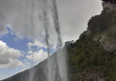
Les anciens sentiers, y compris un GR, sont fermés car sur un terrain privé. Les panneaux danger peuvent effrayer mais je pense qu'il n'aurait aucun danger. Les sentiers associés au canal ont l'air d'être très bien entretetenus
Walking
Mountain bike
Walking
Walking
Walking
Walking
Walking
Walking
Cycle