


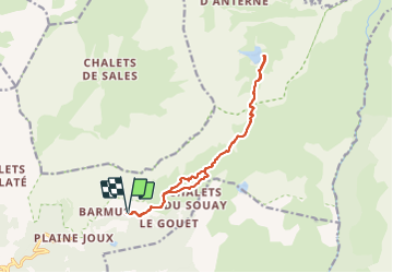

9 km | 14.3 km-effort

User


FREE GPS app for hiking
 SityTrail
IGN / Geographical institutes
SityTrail World
The world is yours!
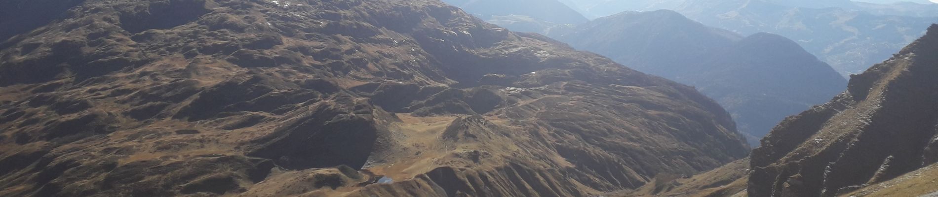
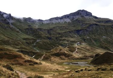
Trail Walking of 14 km to be discovered at Auvergne-Rhône-Alpes, Upper Savoy, Passy. This trail is proposed by fafa74.
Belle rando peu exigeante techniquement et physiquement . Peut-être 1 ou 2 passages délicats par temps humide.


Walking

Walking

Walking

Walking

Running

Walking

Walking

Walking
Walking