


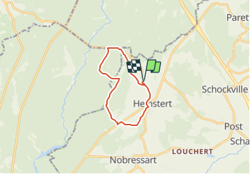

7.8 km | 10.8 km-effort


User


FREE GPS app for hiking
 SityTrail
IGN / Geographical institutes
SityTrail World
The world is yours!
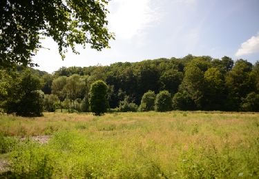
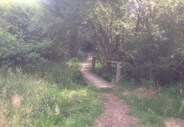
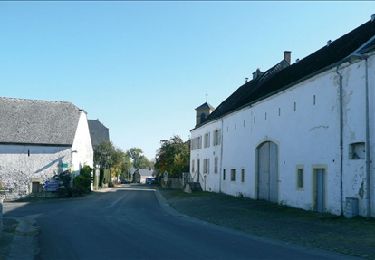
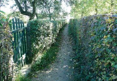
Trail On foot of 8.7 km to be discovered at Wallonia, Luxembourg, Attert. This trail is proposed by yop236.
Parcours pédstre - Forêt / campagne - Départ / Retour:
Ferme d'A Yaaz
Walking
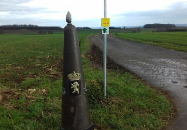
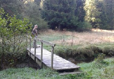
Walking

Other activity
Mountain bike

Walking
Walking
Walking
Walking