


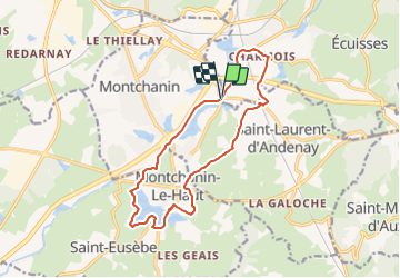

13.1 km | 17 km-effort


User


FREE GPS app for hiking
 SityTrail
IGN / Geographical institutes
SityTrail World
The world is yours!
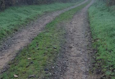
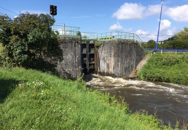
Trail On foot of 14.5 km to be discovered at Bourgogne-Franche-Comté, Saône-et-Loire, Écuisses. This trail is proposed by Malice0093.
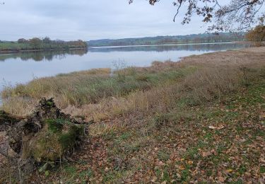
Rando longeant l'étang de Montchanin, le canal ,la rigole et l'étang de Berthaud pour finir par le retour le long du canal depuis Ecuisses
Walking

sport
Walking
Walking

On foot
Walking
On foot

Walking
Walking