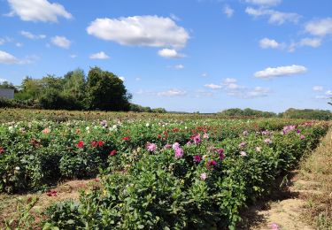
20 km | 22 km-effort
Boucle autour de Saint Mery 20 km
chessyca
User GUIDE
Length
21 km
Max alt
116 m
Uphill gradient
185 m
Km-Effort
24 km
Min alt
73 m
Downhill gradient
184 m
Boucle
Yes
Creation date :
2021-10-20 07:52:12.558
Updated on :
2021-10-20 16:16:20.032
4h53
Difficulty : Very easy
FREE GPS app for hiking
About
Trail Walking of 21 km to be discovered at Ile-de-France, Seine-et-Marne, Saint-Méry. This trail is proposed by chessyca.
Description
Rando assez facile menée par Jean Luc . Terrain en revanche assez boueux déjà en cette saison
Positioning
Country:
France
Region :
Ile-de-France
Department/Province :
Seine-et-Marne
Municipality :
Saint-Méry
Location:
Unknown
Start:(Dec)
Start:(UTM)
487279 ; 5380224 (31U) N.
Comments
Trails nearby
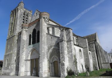
Eglises Médiévales de la Brie - La Collégiale Saint-Martin de Champeaux
Walking
Difficult
(2)
Blandy,
Ile-de-France,
Seine-et-Marne,
France
5h 5min
Yes
Boucle 30 km autour de Bombon
On foot
Medium
Bombon,
Ile-de-France,
Seine-et-Marne,
France
30 km | 34 km-effort
7h 42min
Yes
Boucle 21 km Blandy - Bombom - St Mery - Champeaux
Walking
Easy
Blandy,
Ile-de-France,
Seine-et-Marne,
France
21 km | 23 km-effort
4h 44min
Yes
Boucle autour de Blandy par Corinne
Walking
Easy
Blandy,
Ile-de-France,
Seine-et-Marne,
France
23 km | 25 km-effort
4h 53min
Yes
De Maincy à Blandy les Tours
Walking
Difficult
(1)
Blandy,
Ile-de-France,
Seine-et-Marne,
France
21 km | 24 km-effort
5h 27min
Yes
Bombon 2023
Walking
Difficult
Bombon,
Ile-de-France,
Seine-et-Marne,
France
13.8 km | 15.5 km-effort
3h 23min
Yes
blandy les tours
Walking
Medium
Blandy,
Ile-de-France,
Seine-et-Marne,
France
10 km | 11.3 km-effort
2h 20min
Yes
Verneuil mormant
Walking
Medium
Mormant,
Ile-de-France,
Seine-et-Marne,
France
7 km | 7.4 km-effort
5h 36min
No
SityTrail - De Melun à Champeaux
Hybrid bike
Medium
Champeaux,
Ile-de-France,
Seine-et-Marne,
France
35 km | 39 km-effort
Unknown
Yes