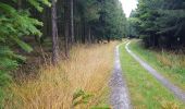

Dochamps

mumu.larandonneuse
User GUIDE

Length
15 km

Max alt
576 m

Uphill gradient
369 m

Km-Effort
19.9 km

Min alt
400 m

Downhill gradient
372 m
Boucle
Yes
Creation date :
2021-10-20 08:41:18.583
Updated on :
2021-10-20 15:49:35.032
3h19
Difficulty : Easy

FREE GPS app for hiking
About
Trail Walking of 15 km to be discovered at Wallonia, Luxembourg, Manhay. This trail is proposed by mumu.larandonneuse.
Description
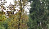
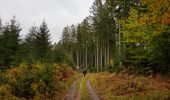
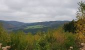
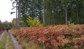
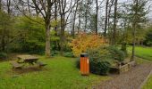
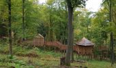
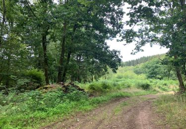
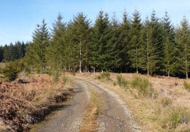
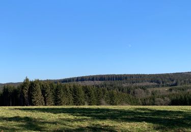
La balade évolue entre 400 et 560 mètres d’altitude dans un massif forestier à l’ouest de Dochamps, passant par le hameau de Laidprangeleux, le bois de Tave et le parc Chorophylle.
Positioning
Country:
Belgium
Region :
Wallonia
Department/Province :
Luxembourg
Municipality :
Manhay
Location:
Unknown
Start:(Dec)
Start:(UTM)
686969 ; 5567899 (31U) N.
Comments
Trails nearby
Erezée - Circuit Natura 2000 "Des sites qui valent le détour" - Lx18


Walking
Medium
(7)
Manhay,
Wallonia,
Luxembourg,
Belgium

8.3 km | 11.9 km-effort
2h 30min
No
Odeigne, Natura 2000 - Des sites qui valent le détour. Lx10


Walking
Easy
(5)
Manhay,
Wallonia,
Luxembourg,
Belgium

8.8 km | 10.9 km-effort
2h 23min
Yes
rando samrée 26/11/2020


Walking
Medium
(3)
La Roche-en-Ardenne,
Wallonia,
Luxembourg,
Belgium

19 km | 25 km-effort
4h 44min
Yes

rando amonines 26/10/2020


Walking
Medium
(1)
Érezée,
Wallonia,
Luxembourg,
Belgium

13.3 km | 18 km-effort
3h 2min
Yes
Samree-maboge-Samree


Walking
(1)
La Roche-en-Ardenne,
Wallonia,
Luxembourg,
Belgium

15.2 km | 21 km-effort
3h 36min
Yes
Balade à Samrée


Walking
Very easy
(1)
La Roche-en-Ardenne,
Wallonia,
Luxembourg,
Belgium

11.2 km | 15.7 km-effort
4h 30min
Yes
Un petit tour dans les fagnes de la goutte en partant de Samree


Walking
(2)
La Roche-en-Ardenne,
Wallonia,
Luxembourg,
Belgium

14.6 km | 18.5 km-effort
3h 0min
Yes
très belle


Walking
Very easy
(1)
La Roche-en-Ardenne,
Wallonia,
Luxembourg,
Belgium

22 km | 31 km-effort
4h 49min
Yes

RF-Lu-04 En surplomb de l'ancienne ligne SNCV de l'Aisne : Dochamps


Walking
Very easy
(4)
Manhay,
Wallonia,
Luxembourg,
Belgium

14.4 km | 19.2 km-effort
4h 5min
Yes


 SityTrail


