16.8 km | 21 km-effort
chemin de fer
BOUTON
User
Length
6.6 km
Max alt
326 m
Uphill gradient
102 m
Km-Effort
7.9 km
Min alt
255 m
Downhill gradient
97 m
Boucle
Yes
Creation date :
2021-10-18 11:34:49.744
Updated on :
2021-10-18 14:07:47.35
1h52
Difficulty : Very easy
FREE GPS app for hiking
About
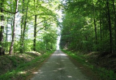
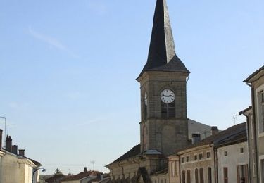
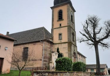
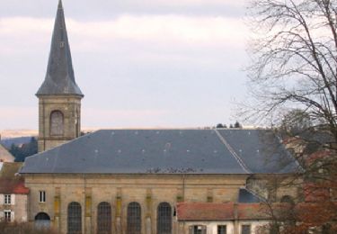
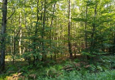
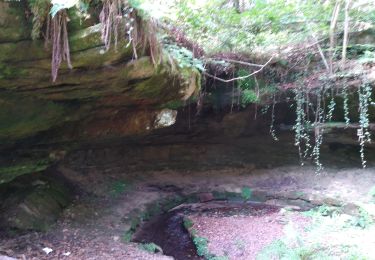
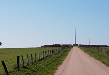
Trail Walking of 6.6 km to be discovered at Grand Est, Vosges, Attigny. This trail is proposed by BOUTON.
Positioning
Country:
France
Region :
Grand Est
Department/Province :
Vosges
Municipality :
Attigny
Location:
Unknown
Start:(Dec)
Start:(UTM)
279064 ; 5327731 (32U) N.
Comments
Trails nearby
Sentier Le Val de Saône - Belrupt
Walking
Medium
Belrupt,
Grand Est,
Vosges,
France
11.1 km | 13 km-effort
2h 45min
Yes
Les terrasses de Darney
Walking
Medium
Darney,
Grand Est,
Vosges,
France
10.7 km | 13.1 km-effort
2h 45min
Yes
Claudon- variante du seeentir des biches
Walking
Medium
Claudon,
Grand Est,
Vosges,
France
5.9 km | 7.8 km-effort
1h 52min
Yes
Les terrasses de Darney
Walking
Easy
Darney,
Grand Est,
Vosges,
France
7.2 km | 9.2 km-effort
1h 49min
Yes
hennezel march'ettes
Walking
Medium
Claudon,
Grand Est,
Vosges,
France
17.6 km | 22 km-effort
6h 55min
Yes
l'ourche à la Saône march'ettes
Walking
Medium
Claudon,
Grand Est,
Vosges,
France
17.5 km | 22 km-effort
4h 14min
Yes