


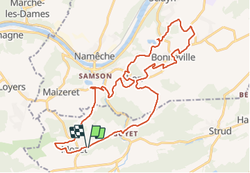

18.3 km | 25 km-effort

User


FREE GPS app for hiking
 SityTrail
IGN / Geographical institutes
SityTrail World
The world is yours!
Trail Walking of 22 km to be discovered at Wallonia, Namur, Gesves. This trail is proposed by jeangulu.
Point de départ : Centre Récréatif de Mozet - Rue des Deux Chênes, 9 - 5340 MOZET.
Organisateur : NA 017 - LES SANGLIERS DU SAMSON.
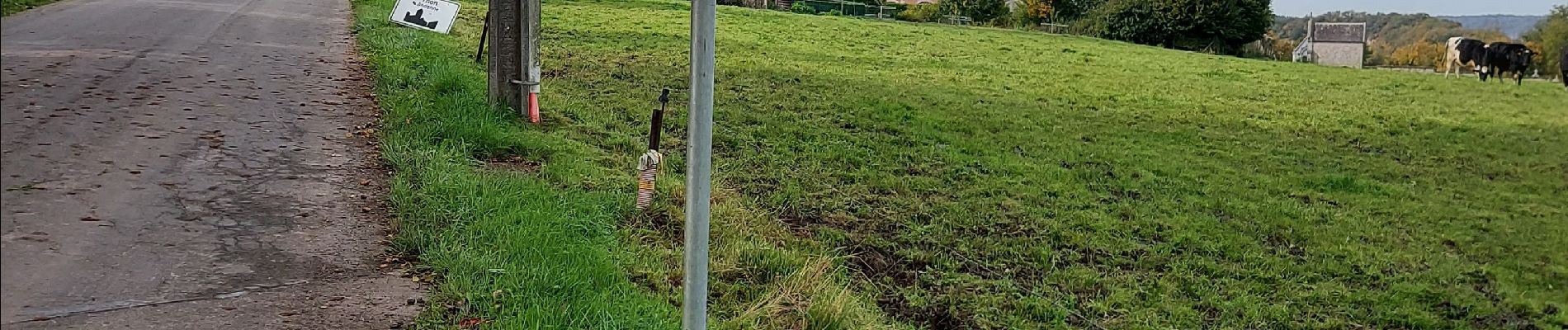
Très belle marche. Un point négatif, pas de contrôle et ni ravitaillement
 _ Marche Fédérale - Photo 1")
 _ Marche Fédérale - Photo 2")
 _ Marche Fédérale - Photo 3")
 _ Marche Fédérale - Photo 4")
 _ Marche Fédérale - Photo 5")

Walking

Walking

Walking

Walking

Walking

Walking

Walking

Walking

Walking