


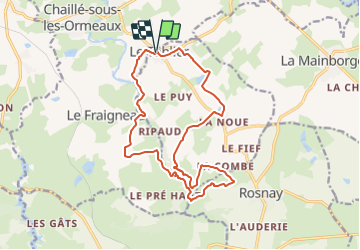

10.3 km | 12.3 km-effort


User


FREE GPS app for hiking
 SityTrail
IGN / Geographical institutes
SityTrail World
The world is yours!
Trail On foot of 16.7 km to be discovered at Pays de la Loire, Vendée, Le Tablier. This trail is proposed by cath310.
D/R parking de l'Eglise du TABLIER 85
balisage : jaune au départ jusqu'à la Grassonnière
jaune-rouge : à partir de la passerelle filature en ruine jusqu'au R
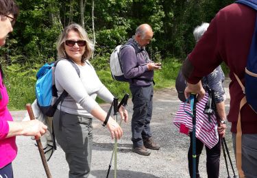
Walking

Walking

Walking
Walking

Walking
Walking

Walking

Walking

On foot