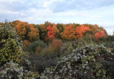
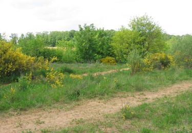
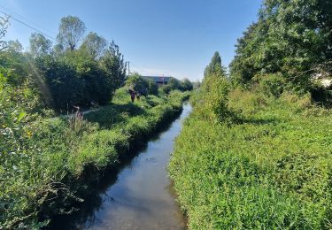
15.5 km | 19.1 km-effort
SityTrail - 2231798 - paris-saclay-troncxon-nx4
BobC
User
Length
21 km
Max alt
164 m
Uphill gradient
279 m
Km-Effort
25 km
Min alt
44 m
Downhill gradient
363 m
Boucle
No
Creation date :
2021-10-16 18:46:20.327
Updated on :
2021-10-16 18:46:20.327
FREE GPS app for hiking
About
Trail of 21 km to be discovered at Ile-de-France, Essonne, Nozay. This trail is proposed by BobC.
Positioning
Country:
France
Region :
Ile-de-France
Department/Province :
Essonne
Municipality :
Nozay
Location:
Unknown
Start:(Dec)
Start:(UTM)
444818 ; 5389016 (31U) N.
Comments
Trails nearby
GRP CV-IDF 2023
Walking
Very difficult
(1)
Ballainvilliers,
Ile-de-France,
Essonne,
France
4h 20min
No
Autour de Leuville sur Orge
Walking
Medium
(1)
Marcoussis,
Ile-de-France,
Essonne,
France
27 km | 32 km-effort
5h 30min
Yes
Saulx les Chartreux vers Ville du Bois
Walking
Medium
(1)
Saulx-les-Chartreux,
Ile-de-France,
Essonne,
France
9.6 km | 12.2 km-effort
2h 30min
Yes
Boucle Bretigny - Arpajon
Walking
Difficult
Brétigny-sur-Orge,
Ile-de-France,
Essonne,
France
30 km | 36 km-effort
6h 19min
Yes
Boucle 23 km autour de Longjumeau
Walking
Medium
Longjumeau,
Ile-de-France,
Essonne,
France
23 km | 27 km-effort
4h 48min
Yes
SityTrail - Bassins du Carouge-Longpont sur Orge
Walking
Medium
(1)
Longpont-sur-Orge,
Ile-de-France,
Essonne,
France
9.3 km | 10.4 km-effort
2h 22min
Yes
Le pont des templiers
Walking
Medium
Longjumeau,
Ile-de-France,
Essonne,
France
15.4 km | 17.2 km-effort
3h 56min
Yes
La rivière morte
Walking
Medium
Longjumeau,
Ile-de-France,
Essonne,
France
14.8 km | 16.8 km-effort
3h 49min
No
ALBG RANDO MERCREDI BALIZY MORSANG BALIZY 2024
Walking
Medium
(1)
Longjumeau,
Ile-de-France,
Essonne,
France
7.9 km | 9.2 km-effort
2h 5min
Yes