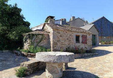
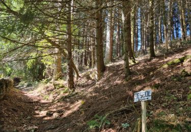
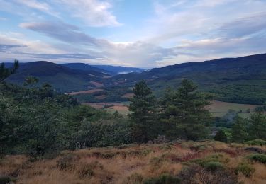
Trail Walking Le Soulié - h6yXcrd2zCo - Photo
 Jovila
Jovila

User

© OpenStreetMap contributors
Length
Length
17 km
Max alt
Max alt
993 m
Uphill gradient
Uphill gradient
385 m
Km-Effort
Km-Effort  
22 km
Min alt
Min alt
855 m
Downhill gradient
Downhill gradient
388 m
Boucle
Boucle
Yes
Creation date :
2021-10-16 17:26:43.938
Updated on :
2021-10-16 17:26:43.938

(1 Reviews)

Walking
Walking
--
Difficulty : Unknown

Scan this QR Code to open this trail in the SityTrail application

FREE GPS app for hiking

Logo SityTrail SityTrail

IGN / Geographical institutes

Download SityTrail from the App Store Download SityTrail from Google Play

Logo SityTrail SityTrail World

The world is yours!

Download SityTrail from the App Store Download SityTrail from Google Play Download SityTrail on Huawei AppGallery

About

Trail Walking of 17 km to be discovered at Occitania, Hérault, Le Soulié. This trail is proposed by Jovila.

Elevation profile

Points of interest

Point of interest Le Soulié - Parking de l'Église - Photo
Jovila
Point of interest Le Soulié - Quatre chemins, à droite - Photo
Jovila
Point of interest Le Soulié - Lavoir de Cadezaures - Photo
Jovila
Point of interest Le Soulié - caudezaur - Photo
Jovila
LE SOULIÉ 
Point of interest Le Soulié - Moulinet, à gauche - Photo
Jovila
Point of interest Le Soulié - domaine du moulinet  - Photo
Jovila
Point of interest Le Soulié - 2ème gué à planques  - Photo
Jovila
Point of interest Le Soulié - Virer à droite - Photo
Jovila
LE SOULIÉ 
Point of interest Le Soulié - Large piste, à droite - Photo
Jovila
Point of interest Le Soulié - Parking de l'Église - Photo
Jovila

Positioning

Country:
France
Region :
Occitania
Department/Province :
Hérault
Municipality :
Le Soulié
Location:
Unknown
Start:(UTM)
474946 ; 4822093 (31T) N.

Comments

Please log in to post a review or rate the element


Trails nearby

Trail Walking Le Soulié - Le Soulié circuit des planques. - Photo
Walking
caccini

Walking

Very difficult
Le Soulié, Occitania, Hérault, France
17.5 km | 23 km-effort
5h 10min
Yes
Trail Mountain bike La Salvetat-sur-Agout - 240829_vtt_2 - Photo
Mountain bike
yt34

Mountain bike

Difficult
La Salvetat-sur-Agout, Occitania, Hérault, France
26 km | 36 km-effort
1h 51min
Yes
Trail Walking Le Soulié - Le Soulié Christophe C. - Photo
Walking
GUIDE
Ada11

Walking

Easy
Le Soulié, Occitania, Hérault, France
17.9 km | 23 km-effort
5h 38min
Yes
Trail Trail Saint-Pons-de-Thomières - jusqu'au sagnes - Photo
Trail
yt34

Trail

Medium
Saint-Pons-de-Thomières, Occitania, Hérault, France
13.2 km | 18.5 km-effort
1h 24min
Yes
Trail Mountain bike La Salvetat-sur-Agout - vtt_circuit_noir_2_42_km - Photo
Mountain bike
yt34

Mountain bike

Very difficult
La Salvetat-sur-Agout, Occitania, Hérault, France
43 km | 58 km-effort
4h 1min
Yes
Trail Mountain bike Courniou - autour de la godasse - Photo
Mountain bike
yt34

Mountain bike

Medium
(1)
Courniou, Occitania, Hérault, France
28 km | 36 km-effort
2h 31min
Yes
Trail Mountain bike Saint-Pons-de-Thomières - le signal - Photo
Mountain bike
yt34

Mountain bike

Medium
(1)
Saint-Pons-de-Thomières, Occitania, Hérault, France
26 km | 36 km-effort
2h 28min
Yes
Trail Trail Saint-Pons-de-Thomières - trail Brassac/ Vesole par les milles marches - Photo
Trail
yt34

Trail

Difficult
Saint-Pons-de-Thomières, Occitania, Hérault, France
14.4 km | 26 km-effort
2h 25min
No
Trail Trail Saint-Pons-de-Thomières - signal - Photo
Trail
yt34

Trail

Very easy
Saint-Pons-de-Thomières, Occitania, Hérault, France
12.8 km | 21 km-effort
1h 35min
Yes


Close
My subscriptions