


11.5 km | 13.3 km-effort


User GUIDE


FREE GPS app for hiking
 SityTrail
IGN / Geographical institutes
SityTrail World
The world is yours!
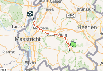
Trail Walking of 22 km to be discovered at Limburg, Unknown, Gulpen-Wittem. This trail is proposed by mumu.larandonneuse.
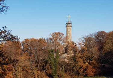
Route vallée de la Gueule – Etape 3 - Gulpen / Valkenburgh / Meuse.
La Gueule prend sa source entre Köpfchen et Lichtenbusch, à proximité de la frontière belgo-allemande.
A cet endroit, différentes sources se rejoignent pour former la Gueule ; ce cours d’eau qui méandre près de 56 kilomètres à travers le Pays des Trois Frontières et le Heuvelland. La Gueule peut être parcourue de sa source à la Meuse. Ce tracé unique permet de découvrir l’histoire, la culture et la diversité de cette région frontalière. La Route Vallée de la Gueule Via Gulia de la Source à la Meuse s’étend sur près de 53 kilomètres.
ℹ Ostbelgien.eu
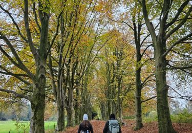
Walking

Walking
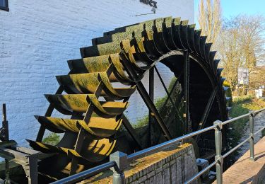
Walking
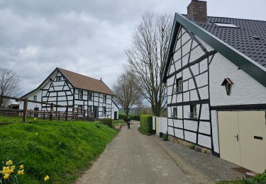
Walking

Walking

Walking
Walking

Walking
Walking