


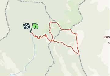

14 km | 26 km-effort


User


FREE GPS app for hiking
 SityTrail
IGN / Geographical institutes
SityTrail World
The world is yours!
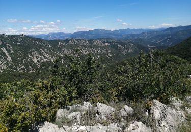
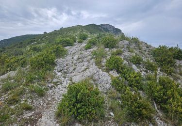
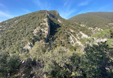
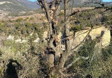
Trail On foot of 9.1 km to be discovered at Auvergne-Rhône-Alpes, Drôme, Venterol. This trail is proposed by phbindelle.
départ au bout de la route de la Sauve, en contre bas d'une grosse batisse en rénovation ( sept 21). Il vaut mieux faire la boucle dans le sens antihoraire quand on est au col de Venterol. Au col de Pousterle, quitter la" route " principale pour prendre le sentier.

Walking
Walking
Walking
Walking
Walking
Walking
Walking
Walking

Walking