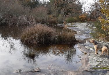
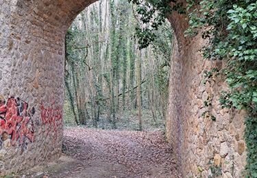
31 km | 35 km-effort
bonvilliers
tempao
User
Length
17.3 km
Max alt
149 m
Uphill gradient
206 m
Km-Effort
20 km
Min alt
75 m
Downhill gradient
204 m
Boucle
Yes
Creation date :
2021-10-14 06:56:14.692
Updated on :
2021-10-14 14:55:31.577
4h08
Difficulty : Easy
FREE GPS app for hiking
About
Trail Walking of 17.3 km to be discovered at Ile-de-France, Essonne, Morigny-Champigny. This trail is proposed by tempao.
Positioning
Country:
France
Region :
Ile-de-France
Department/Province :
Essonne
Municipality :
Morigny-Champigny
Location:
Unknown
Start:(Dec)
Start:(UTM)
442708 ; 5363650 (31U) N.
Comments
Trails nearby
boucle Boissy le Cutté
Walking
Medium
Boissy-le-Cutté,
Ile-de-France,
Essonne,
France
7.4 km | 8.7 km-effort
1h 58min
Yes
Boissy le cutté Vllleneuve sur Auvers
Walking
Medium
Boissy-le-Cutté,
Ile-de-France,
Essonne,
France
7.7 km | 9.6 km-effort
2h 10min
Yes
2024-04-03 Rando Morigny Champigny
Walking
Easy
Morigny-Champigny,
Ile-de-France,
Essonne,
France
12.1 km | 15.1 km-effort
2h 59min
Yes
farcheville 3
Walking
Medium
Bouville,
Ile-de-France,
Essonne,
France
7.9 km | 9.3 km-effort
2h 6min
Yes
boucle puiselet le marais
On foot
Easy
Puiselet-le-Marais,
Ile-de-France,
Essonne,
France
7.7 km | 9.1 km-effort
2h 3min
Yes
adsl 0rveau
Walking
Medium
Orveau,
Ile-de-France,
Essonne,
France
7.4 km | 8.8 km-effort
2h 56min
Yes
pontde4
Walking
Medium
Morigny-Champigny,
Ile-de-France,
Essonne,
France
10.7 km | 12.8 km-effort
2h 25min
No
Autour d'Etampes
Walking
Very difficult
Étampes,
Ile-de-France,
Essonne,
France
16.6 km | 19.9 km-effort
4h 31min
Yes