


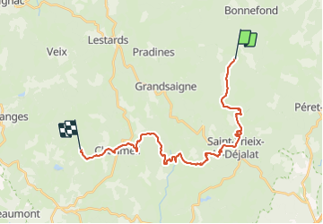

17.8 km | 23 km-effort


User


FREE GPS app for hiking
 SityTrail
IGN / Geographical institutes
SityTrail World
The world is yours!
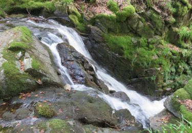
Trail On foot of 27 km to be discovered at New Aquitaine, Corrèze, Bonnefond. This trail is proposed by MathieuBourgois.
-Ruines de Montamar 2.1km et 40D
-Les Pradeleix 3.5km et 65D
-Saint-Iriex-le-Dejelat 9km et 250D
-Chaumeil 23km et 650D
-Lieu de bivouac 27km et 750D
Walking
Walking
Walking

Walking
Walking
Walking
Walking
Walking
Walking