![](/images/other/stat-length.png)
![Trail On foot Meymac - GR440, jour 1: Meymac à Lieu de bivouac - Photo](https://media.geolcdn.com/t/1900/400/ext.pjpeg?maxdim=2&url=https%3A%2F%2Fstatic1.geolcdn.com%2Fsiteimages%2Fupload%2Ffiles%2F1545311037marcheuse_200dpi.jpg)
GR440, jour 1: Meymac à Lieu de bivouac
MathieuBourgois
User
![Length](/images/other/stat-length.png)
Length
28 km
![Max alt](https://static1.geolcdn.com/siteimages/upload/files/1508320355ic_sort_altitude_max_24dp.png)
Max alt
927 m
![Uphill gradient](https://static1.geolcdn.com/siteimages/upload/files/1508320355ic_sort_den_pos_24dp.png)
Uphill gradient
688 m
![Km-Effort](/images/other/stat-length.png)
Km-Effort
37 km
![Min alt](https://static1.geolcdn.com/siteimages/upload/files/1508320355ic_sort_altitude_min_24dp.png)
Min alt
641 m
![Downhill gradient](https://static1.geolcdn.com/siteimages/upload/files/1508320355ic_sort_den_neg_24dp.png)
Downhill gradient
680 m
![Boucle](https://static1.geolcdn.com/siteimages/upload/files/16400158638029165_repeat_loop_refresh_sync_direction_icon.png)
Boucle
No
Creation date :
2021-10-14 08:02:05.121
Updated on :
2021-10-14 08:15:13.913
![On foot](https://static1.geolcdn.com/sitytour/trail-icons/100.png)
2h08
Difficulty : Difficult
![Scan this QR Code to open this trail in the SityTrail application](https://capi.geolives.com/qq0zvz2zws4bq2lad0pu/sitytour/trails/2969460/qr.png?size=200)
FREE GPS app for hiking
About
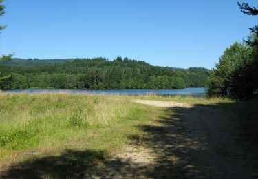
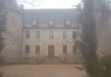
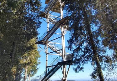
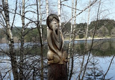
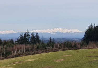
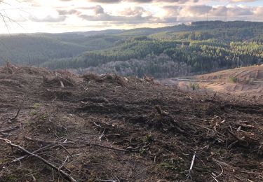
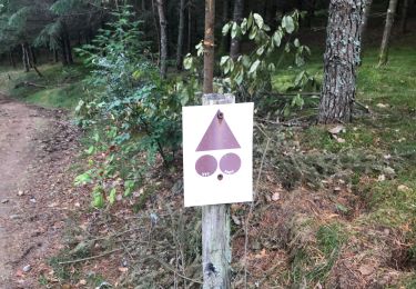
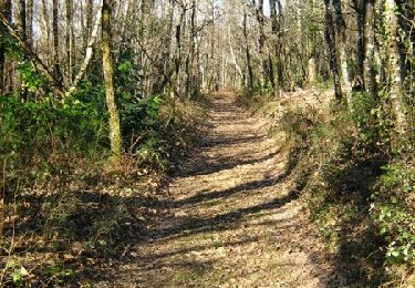
Trail On foot of 28 km to be discovered at New Aquitaine, Corrèze, Meymac. This trail is proposed by MathieuBourgois.
Description
-Haut Matrillac 6.7km 240D
-La Saulière 15km et 550D
-Sources de le Corrèze 19km et 620D
-Bonnefond 24km et 670D
-Lieu de bivouac 28km et 680D
Positioning
Country:
France
Region :
New Aquitaine
Department/Province :
Corrèze
Municipality :
Meymac
Location:
Unknown
Start:(Dec)
Start:(UTM)
433418 ; 5042862 (31T) N.
Comments
Trails nearby
![Trail Walking Meymac - De feuilles en aiguilles - Ambrugeat - Pays de Haute Corrèze - Photo](https://media.geolcdn.com/t/375/260/ext.jpg?maxdim=2&url=https%3A%2F%2Fservices.sitytrail.com%2FGeolivesWS%2FDownloadMedia.ashx%3FTrailID%3D112429%26Media%3D10540_1.jpg)
![Walking Walking](https://static1.geolcdn.com/sitytour/trail-icons/101.png)
De feuilles en aiguilles - Ambrugeat - Pays de Haute Corrèze
Walking
Difficult
(1)
Meymac,
New Aquitaine,
Corrèze,
France
![](/images/other/stat-length.png)
23 km | 32 km-effort
4h 30min
![](https://static1.geolcdn.com/siteimages/upload/files/16400158638029165_repeat_loop_refresh_sync_direction_icon.png)
Yes
![Trail Mountain bike Maussac - Au charbon ! 17km - Maussac - Pays de Haute Corrèze - Photo](https://media.geolcdn.com/t/375/260/ext.jpg?maxdim=2&url=https%3A%2F%2Fservices.sitytrail.com%2FGeolivesWS%2FDownloadMedia.ashx%3FTrailID%3D112281%26Media%3D10290_1.jpg)
![Mountain bike Mountain bike](https://static1.geolcdn.com/sitytour/trail-icons/202.png)
Au charbon ! 17km - Maussac - Pays de Haute Corrèze
Mountain bike
Medium
(1)
Maussac,
New Aquitaine,
Corrèze,
France
![](/images/other/stat-length.png)
17 km | 22 km-effort
1h 30min
![](https://static1.geolcdn.com/siteimages/upload/files/16400158638029165_repeat_loop_refresh_sync_direction_icon.png)
Yes
![Trail Walking Meymac - Meymac_Davignac - Photo](https://media.geolcdn.com/t/375/260/ext.jpg?maxdim=2&url=https%3A%2F%2Fservices.sitytrail.com%2FGeolivesWS%2FDownloadMedia.ashx%3FTrailID%3D1079780%26Media%3Dfix__20181202113944.jpg)
![Walking Walking](https://static1.geolcdn.com/sitytour/trail-icons/101.png)
Meymac_Davignac
Walking
Medium
Meymac,
New Aquitaine,
Corrèze,
France
![](/images/other/stat-length.png)
14.1 km | 18 km-effort
3h 24min
![](https://static1.geolcdn.com/siteimages/upload/files/16400158638029165_repeat_loop_refresh_sync_direction_icon.png)
No
![Trail Walking Meymac - Tour du Mont Bessou. - Photo](https://media.geolcdn.com/t/375/260/54fd3e0e-a5d0-4a99-bc81-3c0bb4dbdefb.jpg&format=jpg&maxdim=2)
![Walking Walking](https://static1.geolcdn.com/sitytour/trail-icons/101.png)
Tour du Mont Bessou.
Walking
Easy
Meymac,
New Aquitaine,
Corrèze,
France
![](/images/other/stat-length.png)
3.4 km | 4.9 km-effort
1h 0min
![](https://static1.geolcdn.com/siteimages/upload/files/16400158638029165_repeat_loop_refresh_sync_direction_icon.png)
No
![Trail Walking Ambrugeat - balade lac de sechemailles avec Viviane - Photo](https://media.geolcdn.com/t/375/260/990f6b99-60a3-4dc1-9053-e7671b03dfaa.jpg&format=jpg&maxdim=2)
![Walking Walking](https://static1.geolcdn.com/sitytour/trail-icons/101.png)
balade lac de sechemailles avec Viviane
Walking
Very easy
(2)
Ambrugeat,
New Aquitaine,
Corrèze,
France
![](/images/other/stat-length.png)
4.7 km | 5.6 km-effort
1h 32min
![](https://static1.geolcdn.com/siteimages/upload/files/16400158638029165_repeat_loop_refresh_sync_direction_icon.png)
Yes
![Trail Walking Meymac - Montagne du Cloup, les Farges - Photo](https://media.geolcdn.com/t/375/260/3a8b1475-4c77-4191-b364-fff74de63b5d.jpg&format=jpg&maxdim=2)
![Walking Walking](https://static1.geolcdn.com/sitytour/trail-icons/101.png)
Montagne du Cloup, les Farges
Walking
Medium
Meymac,
New Aquitaine,
Corrèze,
France
![](/images/other/stat-length.png)
13.8 km | 19.1 km-effort
4h 36min
![](https://static1.geolcdn.com/siteimages/upload/files/16400158638029165_repeat_loop_refresh_sync_direction_icon.png)
Yes
![Trail Walking Meymac - Puy Baubière - Photo](https://media.geolcdn.com/t/375/260/f59ac1de-9b24-4d1e-8cc0-af55a58e4d5d.jpeg&format=jpg&maxdim=2)
![Walking Walking](https://static1.geolcdn.com/sitytour/trail-icons/101.png)
Puy Baubière
Walking
Medium
Meymac,
New Aquitaine,
Corrèze,
France
![](/images/other/stat-length.png)
6.3 km | 9.2 km-effort
2h 15min
![](https://static1.geolcdn.com/siteimages/upload/files/16400158638029165_repeat_loop_refresh_sync_direction_icon.png)
Yes
![Trail Walking Ambrugeat - Corrèze Ambrugeat - Photo](https://media.geolcdn.com/t/375/260/f044f37f-98f8-4ccf-91b3-11cfe40163a2.jpg&format=jpg&maxdim=2)
![Walking Walking](https://static1.geolcdn.com/sitytour/trail-icons/101.png)
Corrèze Ambrugeat
Walking
Easy
Ambrugeat,
New Aquitaine,
Corrèze,
France
![](/images/other/stat-length.png)
14.3 km | 20 km-effort
4h 12min
![](https://static1.geolcdn.com/siteimages/upload/files/16400158638029165_repeat_loop_refresh_sync_direction_icon.png)
Yes
![Trail Mountain bike Meymac - De feuilles en aiguilles - Ambrugeat - Pays de Haute Corrèze - Photo](https://media.geolcdn.com/t/375/260/ext.jpg?maxdim=2&url=https%3A%2F%2Fservices.sitytrail.com%2FGeolivesWS%2FDownloadMedia.ashx%3FTrailID%3D112430%26Media%3D10540_1.jpg)
![Mountain bike Mountain bike](https://static1.geolcdn.com/sitytour/trail-icons/202.png)
De feuilles en aiguilles - Ambrugeat - Pays de Haute Corrèze
Mountain bike
Difficult
Meymac,
New Aquitaine,
Corrèze,
France
![](/images/other/stat-length.png)
23 km | 32 km-effort
1h 30min
![](https://static1.geolcdn.com/siteimages/upload/files/16400158638029165_repeat_loop_refresh_sync_direction_icon.png)
Yes