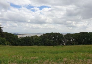
7.8 km | 9.6 km-effort
Lucerne GR2
FrancoiseVillalonga
User
Length
6 km
Max alt
100 m
Uphill gradient
100 m
Km-Effort
7.4 km
Min alt
31 m
Downhill gradient
99 m
Boucle
Yes
Creation date :
2021-10-13 12:26:24.0
Updated on :
2021-10-13 14:31:43.388
2h04
Difficulty : Medium
FREE GPS app for hiking
About
Trail Walking of 6 km to be discovered at Normandy, Manche, La Lucerne-d'Outremer. This trail is proposed by FrancoiseVillalonga.
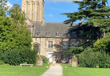
Positioning
Country:
France
Region :
Normandy
Department/Province :
Manche
Municipality :
La Lucerne-d'Outremer
Location:
Unknown
Start:(Dec)
Start:(UTM)
612525 ; 5405425 (30U) N.
Comments
Trails nearby
Abbaye de la Lucerne
Walking
Easy
La Lucerne-d'Outremer,
Normandy,
Manche,
France
7.8 km | 9.7 km-effort
2h 38min
Yes
Château Lez eaux Kairon plage
sport
Very easy
Saint-Aubin-des-Préaux,
Normandy,
Manche,
France
5 km | 5.5 km-effort
Unknown
No
Abbaye de la Lucerne - côté moulin de Vaucelle
Walking
Easy
La Lucerne-d'Outremer,
Normandy,
Manche,
France
2.9 km | 3.6 km-effort
53min
Yes
50-06-Beauchamp Villedieu les poeles - la route des chiffonniers 20km-2/5-
Walking
Medium
La Lucerne-d'Outremer,
Normandy,
Manche,
France
13.1 km | 14.8 km-effort
8min
No
w-frankrijk-rondom-st-pair-sur-mer
Walking
Very easy
Saint-Pair-sur-Mer,
Normandy,
Manche,
France
14.3 km | 16.3 km-effort
Unknown
No