15.6 km | 19.6 km-effort
Montgueux
randoam
User
Length
6.4 km
Max alt
264 m
Uphill gradient
124 m
Km-Effort
8.1 km
Min alt
185 m
Downhill gradient
125 m
Boucle
Yes
Creation date :
2021-10-12 12:40:31.473
Updated on :
2021-10-12 14:32:02.425
1h39
Difficulty : Medium
FREE GPS app for hiking
About
Trail Walking of 6.4 km to be discovered at Grand Est, Aube, Montgueux. This trail is proposed by randoam.
Description
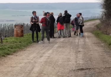
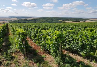
Panorama au dessus des vignes
Positioning
Country:
France
Region :
Grand Est
Department/Province :
Aube
Municipality :
Montgueux
Location:
Unknown
Start:(Dec)
Start:(UTM)
570760 ; 5350768 (31U) N.
Comments
Trails nearby
MONTGUEUX, A TRAVERS LES VIGNES, CHAMPS ET BOIS
Walking
Medium
(1)
Montgueux,
Grand Est,
Aube,
France
5 km | 6 km-effort
1h 21min
Yes
Montgueux Vignes et champs depuis la D 60 9,1 km
Walking
Medium
(1)
Barberey-Saint-Sulpice,
Grand Est,
Aube,
France
9.1 km | 11.5 km-effort
2h 37min
Yes
Messon 17km le 04.02.2022
Walking
Difficult
Messon,
Grand Est,
Aube,
France
17.4 km | 21 km-effort
3h 36min
Yes
Mongueux: Boucle en Champagne
Walking
Very easy
Montgueux,
Grand Est,
Aube,
France
7.3 km | 8.6 km-effort
2h 15min
Yes
balisage 19 mars 2016 - MACEY après midi
Walking
Easy
Macey,
Grand Est,
Aube,
France
5.8 km | 8.2 km-effort
2h 1min
Yes
balisage 19 mars 2016 MACEY
Walking
Easy
Montgueux,
Grand Est,
Aube,
France
6.8 km | 8.2 km-effort
2h 55min
No