9.5 km | 21 km-effort
st helene boucle G1
papou73
User
Length
8.6 km
Max alt
352 m
Uphill gradient
158 m
Km-Effort
10.7 km
Min alt
256 m
Downhill gradient
158 m
Boucle
Yes
Creation date :
2021-10-11 06:20:25.65
Updated on :
2021-10-11 08:58:19.356
2h11
Difficulty : Medium
FREE GPS app for hiking
About
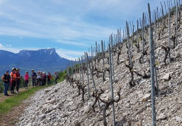
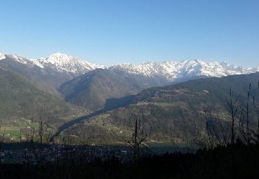
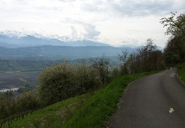
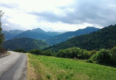
Trail Walking of 8.6 km to be discovered at Auvergne-Rhône-Alpes, Savoy, Les Mollettes. This trail is proposed by papou73.
Positioning
Country:
France
Region :
Auvergne-Rhône-Alpes
Department/Province :
Savoy
Municipality :
Les Mollettes
Location:
Unknown
Start:(Dec)
Start:(UTM)
270976 ; 5040217 (32T) N.
Comments
Trails nearby
La Roche du Guet depuis Arbin, Montmélian
Walking
Medium
(1)
Arbin,
Auvergne-Rhône-Alpes,
Savoy,
France
6h 0min
Yes
plan perrier + montmayeur
Mountain bike
Medium
(1)
Valgelon-La Rochette,
Auvergne-Rhône-Alpes,
Savoy,
France
25 km | 34 km-effort
2h 49min
Yes
Chignin - Arbin à travers les vignes et coteaux
Nordic walking
Medium
Chignin,
Auvergne-Rhône-Alpes,
Savoy,
France
15.2 km | 21 km-effort
3h 36min
Yes
brame farine
Mountain bike
Medium
Valgelon-La Rochette,
Auvergne-Rhône-Alpes,
Savoy,
France
35 km | 52 km-effort
2h 47min
Yes
les vignes et la combe de Savoie
Mountain bike
Medium
(1)
Arbin,
Auvergne-Rhône-Alpes,
Savoy,
France
25 km | 33 km-effort
3h 24min
No
Plan Perrier
Cycle
Easy
(1)
Valgelon-La Rochette,
Auvergne-Rhône-Alpes,
Savoy,
France
17 km | 24 km-effort
1h 22min
Yes
Prodin VTT
Mountain bike
Difficult
(2)
Valgelon-La Rochette,
Auvergne-Rhône-Alpes,
Savoy,
France
35 km | 53 km-effort
Unknown
Yes
col de la cochette depuis la rochette
Road bike
Very difficult
Valgelon-La Rochette,
Auvergne-Rhône-Alpes,
Savoy,
France
32 km | 42 km-effort
2h 22min
Yes
Arbin-Cruet-2021-03-23
Walking
Medium
Arbin,
Auvergne-Rhône-Alpes,
Savoy,
France
11.1 km | 19.5 km-effort
4h 25min
Yes