

Fons sur Lussan Serre de Fons

Manoune
User

Length
12.1 km

Max alt
470 m

Uphill gradient
250 m

Km-Effort
15.5 km

Min alt
292 m

Downhill gradient
250 m
Boucle
Yes
Creation date :
2021-10-10 07:13:46.439
Updated on :
2021-10-14 13:14:41.336
4h43
Difficulty : Medium

FREE GPS app for hiking
About
Trail Walking of 12.1 km to be discovered at Occitania, Gard, Fons-sur-Lussan. This trail is proposed by Manoune.
Description
Départ parking du village, petite visite, cimetière, les Clos, Plaine Bernardin, Matte Aglans, Serre de Fons ( point de vue et pique - nique, petit retour sur nos pas , à gauche ,descente à la fontaine du Mas du Coq, D 187 , Guè, fin de la rando.
Positioning
Country:
France
Region :
Occitania
Department/Province :
Gard
Municipality :
Fons-sur-Lussan
Location:
Unknown
Start:(Dec)
Start:(UTM)
606260 ; 4893186 (31T) N.
Comments
Trails nearby

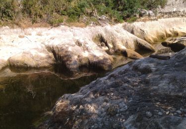
30 conclused


Walking
Difficult
Lussan,
Occitania,
Gard,
France

14.3 km | 19.6 km-effort
7h 57min
Yes
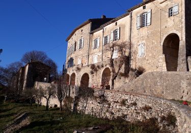
Concluses de Lussan


Walking
Difficult
Lussan,
Occitania,
Gard,
France

26 km | 0 m-effort
5h 46min
No

LUSSAN - LES CONCLUSES - 11.3 Km - 3h30 - Dénivelé 170 m


Walking
Difficult
(2)
Lussan,
Occitania,
Gard,
France

11.3 km | 15 km-effort
3h 21min
Yes
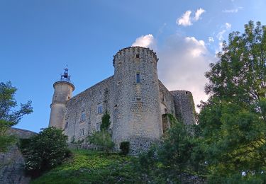
de Lussan aux Concluses


Walking
Medium
Lussan,
Occitania,
Gard,
France

15.8 km | 20 km-effort
5h 41min
Yes
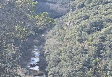
de Prades au Concluses


Walking
Medium
Lussan,
Occitania,
Gard,
France

9.6 km | 12.9 km-effort
2h 48min
Yes

231203_Rivières


Walking
Difficult
Rivières,
Occitania,
Gard,
France

15.4 km | 18.9 km-effort
5h 43min
Yes
mejannes le clap


Walking
Medium
Méjannes-le-Clap,
Occitania,
Gard,
France

14.4 km | 19.3 km-effort
5h 19min
Yes
randonnée Prades les concluses


Walking
Medium
Lussan,
Occitania,
Gard,
France

11 km | 15.6 km-effort
3h 50min
Yes


 SityTrail


