23 km | 33 km-effort
hauts de remiremont
Pierre Fontaine
User
Length
36 km
Max alt
727 m
Uphill gradient
1118 m
Km-Effort
51 km
Min alt
411 m
Downhill gradient
1120 m
Boucle
Yes
Creation date :
2021-10-10 06:28:29.128
Updated on :
2021-10-10 10:20:37.27
3h03
Difficulty : Medium
FREE GPS app for hiking
About
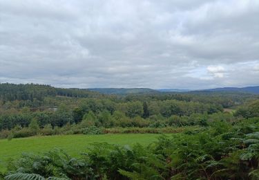
Trail Mountain bike of 36 km to be discovered at Grand Est, Vosges, Remiremont. This trail is proposed by Pierre Fontaine.
Description
Pique un peu.
Super parcours.
Positioning
Country:
France
Region :
Grand Est
Department/Province :
Vosges
Municipality :
Remiremont
Location:
Unknown
Start:(Dec)
Start:(UTM)
320148 ; 5320512 (32U) N.
Comments
Trails nearby
Remiremont (Girmont-Val-d'Ajol) 22 880m +729m
Walking
Very difficult
(1)
Remiremont,
Grand Est,
Vosges,
France
7h 24min
Yes
Circuit Bois de Malpierre / Pont du vitrier / étang de la plaine
Walking
Easy
Saint-Nabord,
Grand Est,
Vosges,
France
8 km | 10.9 km-effort
1h 55min
Yes
rando chanoinesses 2024
Walking
Medium
Saint-Étienne-lès-Remiremont,
Grand Est,
Vosges,
France
12.5 km | 18 km-effort
2h 32min
No
20220324_projet_rando_ST-ETIENNE-LES-REMIREMONT_N_Sur_les_pas_de_St_Romary
Walking
Very difficult
Saint-Étienne-lès-Remiremont,
Grand Est,
Vosges,
France
15.8 km | 25 km-effort
5h 36min
Yes
Sentier "Champée"
On foot
Easy
Raon-aux-Bois,
Grand Est,
Vosges,
France
4.6 km | 7.3 km-effort
1h 39min
No
Le sentier des Pourdingues
Walking
Easy
Saint-Étienne-lès-Remiremont,
Grand Est,
Vosges,
France
10.7 km | 15.3 km-effort
2h 25min
Yes
Remiremont - baraque des gardes - étang du Villerain - cascade du Géhart - ét...
Walking
Medium
Remiremont,
Grand Est,
Vosges,
France
16.6 km | 23 km-effort
5h 19min
Yes
Marche gourmande de Vecoux
Walking
Easy
Vecoux,
Grand Est,
Vosges,
France
10.9 km | 15.3 km-effort
4h 11min
Yes