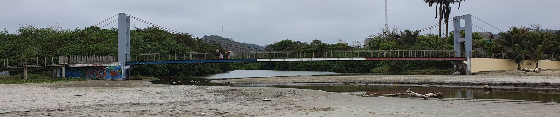
![Trail Walking Canoa - playa de Canoa - Photo](https://media.geolcdn.com/t/1900/400/38788421-353e-42a0-a7c1-3abfe3701d63.jpg&format=pjpeg&maxdim=2)
playa de Canoa
gildascb
User
![Length](/images/other/stat-length.png)
Length
5.2 km
![Max alt](https://static1.geolcdn.com/siteimages/upload/files/1508320355ic_sort_altitude_max_24dp.png)
Max alt
25 m
![Uphill gradient](https://static1.geolcdn.com/siteimages/upload/files/1508320355ic_sort_den_pos_24dp.png)
Uphill gradient
19 m
![Km-Effort](/images/other/stat-length.png)
Km-Effort
5.5 km
![Min alt](https://static1.geolcdn.com/siteimages/upload/files/1508320355ic_sort_altitude_min_24dp.png)
Min alt
0 m
![Downhill gradient](https://static1.geolcdn.com/siteimages/upload/files/1508320355ic_sort_den_neg_24dp.png)
Downhill gradient
15 m
![Boucle](https://static1.geolcdn.com/siteimages/upload/files/16400158638029165_repeat_loop_refresh_sync_direction_icon.png)
Boucle
No
Creation date :
2021-10-09 15:27:22.215
Updated on :
2021-10-09 17:47:13.13
![Walking](https://static1.geolcdn.com/sitytour/trail-icons/101.png)
2h19
Difficulty : Very easy
![Scan this QR Code to open this trail in the SityTrail application](https://capi.geolives.com/qq0zvz2zws4bq2lad0pu/sitytour/trails/2964115/qr.png?size=200)
FREE GPS app for hiking
About
Trail Walking of 5.2 km to be discovered at Manabí, San Vicente, Canoa. This trail is proposed by gildascb.
Positioning
Country:
Ecuador
Region :
Manabí
Department/Province :
San Vicente
Municipality :
Canoa
Location:
Unknown
Start:(Dec)
Start:(UTM)
561085 ; 9946599 (17M) S.
Comments
Trails nearby